San Juan de Alicante night lights from space
Night Light of San Juan de Alicante (Valencia) from space (Spain) Src. Average luminocity for 10x10km area is 72.3442% and for 50x50km: 18.1539%.
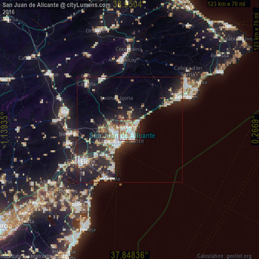
Analysis of San Juan de Alicante night lights 2016
Square area 10x10 km:
 19.97%
90-99
22.08%80-89
11.53%70-79
6.01%60-69
9.58%50-59
6.82%40-49
2.6%30-39
7.95%20-29
9.25%10-19
4.22%0-9
0%Square area 50x50 km:
3.03%90-99
3.28%80-89
2.25%70-79
1.8%60-69
2.17%50-59
1.95%40-49
1.92%30-39
3.1%20-29
7.29%10-19
11.65%0-9
61.57%Clear (daylight) street map image can be seen on geolist.org.
Map coordinates:
38° 57' 1.4" North, 1° 8' 21.7" West
38° 24' 5.3" North, 0° 26' 10.4" West
37° 50' 54.1" North, 0° 16' 0.8" East
Some cities around San Juan de Alicante sort by population:
• Alicante
7.4 km =4.6 mi,  212°
212°
• San Vicent del Raspeig
7.8 km =4.8 mi,  265°
265°
• Villajoyosa
21.2 km =13.2 mi,  56°
56°
• Santa Pola
25.9 km =16.1 mi, 205°
• El Campello
4.5 km =2.8 mi,  47°
47°
• Mutxamel
1.8 km =1.1 mi,  333°
333°
• Jijona
16.5 km =10.3 mi,  339°
339°
• Monforte del Cid
25.6 km =15.9 mi,  264°
264°
2511330 (p: 21,939)
Sources (retrieved 2019-11-25):
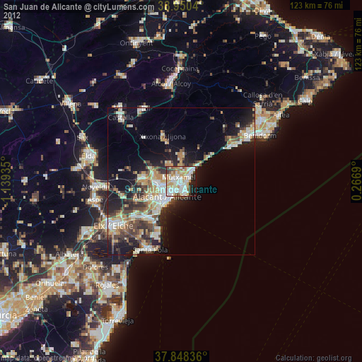
» Earth at Night: Flat Maps 2012, 2016