Chamartín night lights from space
Night Light of Chamartín (Madrid) from space (Spain) Src. Average luminocity for 10x10km area is 98.5714% and for 50x50km: 55.3415%.
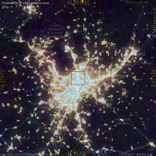

Analysis of Chamartín night lights 2016
Square area 10x10 km:
 71.43%
90-99
22.96%80-89
4.25%70-79
1.02%60-69
0%50-59
0.34%40-49
0%30-39
0%20-29
0%10-19
0%0-9
0%Square area 50x50 km:
15.89%90-99
14.01%80-89
4.76%70-79
6.46%60-69
6.07%50-59
5.89%40-49
5.52%30-39
6.45%20-29
10.85%10-19
15.35%0-9
8.73%Clear (daylight) street map image can be seen on geolist.org.
Map coordinates:
40° 59' 41.6" North, 4° 22' 47" West
40° 27' 43.4" North, 3° 40' 35.8" West
39° 55' 29.9" North, 2° 58' 24.5" West
Some cities around Chamartín sort by population:
• Ciudad Lineal
2.9 km =1.8 mi,  131°
131°
• Hortaleza
3.3 km =2.1 mi,  65°
65°
• Tetuán de las Victorias
1.8 km =1.1 mi,  261°
261°
• City Center
5.3 km =3.3 mi,  204°
204°
• Salamanca
3.6 km =2.2 mi,  184°
184°
• Chamberí
3.9 km =2.4 mi,  216°
216°
• Retiro
5.5 km =3.4 mi,  185°
185°
• Pinar de Chamartín
2 km =1.2 mi,  20°
20°
3125239 (p: 140,000)
Sources (retrieved 2019-11-25):
» NASA, Earths city lights 1995
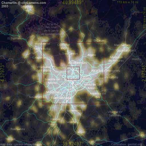
» NASA city lights 2003
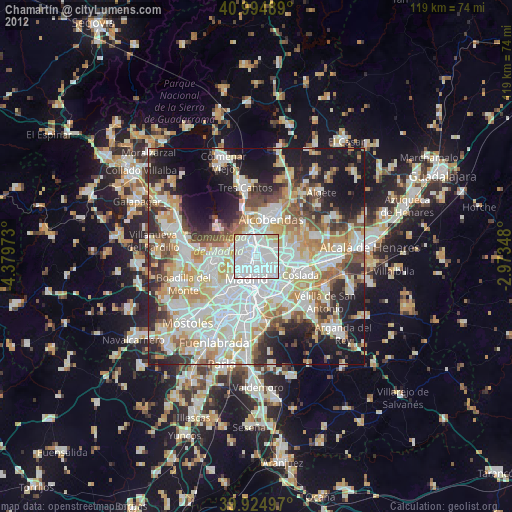
» Earth at Night: Flat Maps 2012, 2016