Pinar de Chamartín night lights from space
Night Light of Pinar de Chamartín (Madrid) from space (Spain) Src. Average luminocity for 10x10km area is 96.1037% and for 50x50km: 54.8474%.
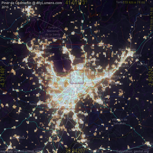
Analysis of Pinar de Chamartín night lights 2016
Square area 10x10 km:
 63.27%
90-99
23.98%80-89
5.27%70-79
4.76%60-69
0%50-59
1.87%40-49
0.85%30-39
0%20-29
0%10-19
0%0-9
0%Square area 50x50 km:
15.86%90-99
13.94%80-89
4.7%70-79
6.47%60-69
5.92%50-59
5.82%40-49
5.43%30-39
6.1%20-29
10.14%10-19
16.11%0-9
9.51%Clear (daylight) street map image can be seen on geolist.org.
Map coordinates:
41° 0' 42.2" North, 4° 22' 17.4" West
40° 28' 44.5" North, 3° 40' 6.1" West
39° 56' 31.5" North, 2° 57' 54.9" West
Some cities around Pinar de Chamartín sort by population:
• Ciudad Lineal
4 km =2.5 mi,  159°
159°
• Fuencarral-El Pardo
5.7 km =3.5 mi,  291°
291°
• Hortaleza
2.4 km =1.5 mi,  102°
102°
• San Blas-Canillejas
6.3 km =3.9 mi,  134°
134°
• Tetuán de las Victorias
3.3 km =2.1 mi,  228°
228°
• Salamanca
5.6 km =3.5 mi,  189°
189°
• Chamberí
5.8 km =3.6 mi,  210°
210°
• Chamartín
2 km =1.2 mi,  200°
200°
6324376 (p: 30,000)
Sources (retrieved 2019-11-25):
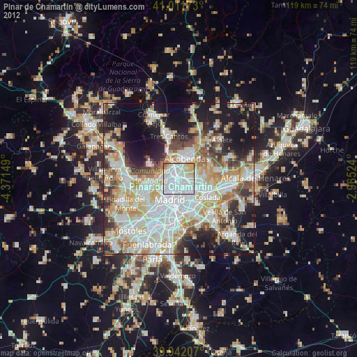
» Earth at Night: Flat Maps 2012, 2016