Tetuán de las Victorias night lights from space
Night Light of Tetuán de las Victorias (Madrid) from space (Spain) Src. Average luminocity for 10x10km area is 96.2296% and for 50x50km: 55.6315%.
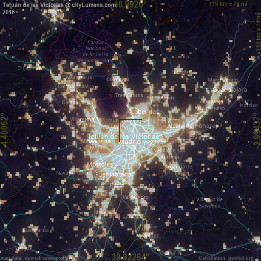
Analysis of Tetuán de las Victorias night lights 2016
Square area 10x10 km:
 64.8%
64.8%90-99
22.62%80-89
3.4%70-79
6.8%60-69
0.68%50-59
0.85%40-49
0.51%30-39
0.34%20-29
0%10-19
0%0-9
0%Square area 50x50 km:
15.79%90-99
14.06%80-89
4.86%70-79
6.47%60-69
6.29%50-59
5.82%40-49
5.54%30-39
6.66%20-29
11.46%10-19
15.03%0-9
8.02%Clear (daylight) street map image can be seen on geolist.org.
Map coordinates:
40° 59' 33.4" North, 4° 24' 2.2" West
40° 27' 35.1" North, 3° 41' 51" West
39° 55' 21.5" North, 2° 59' 39.7" West
Some cities around Tetuán de las Victorias sort by population:
• Madrid
4.8 km =3 mi,  185°
185°
• Ciudad Lineal
4.2 km =2.6 mi,  112°
112°
• City Center
4.6 km =2.9 mi, 185°
• Salamanca
3.7 km =2.3 mi,  155°
155°
• Chamberí
2.9 km =1.8 mi, 190°
• Chamartín
1.8 km =1.1 mi,  81°
81°
• Moncloa-Aravaca
4 km =2.5 mi,  226°
226°
• Pinar de Chamartín
3.3 km =2.1 mi,  48°
48°
3108118 (p: 155,000)
Sources (retrieved 2019-11-25):
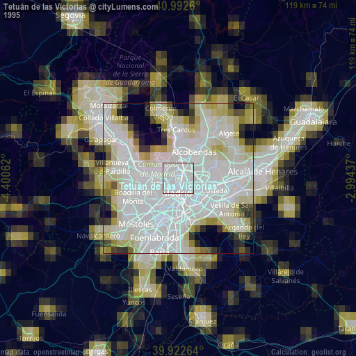
» NASA, Earths city lights 1995
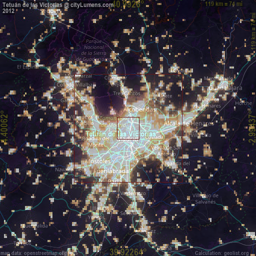
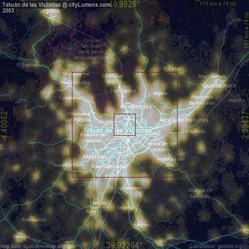
» NASA city lights 2003
» Earth at Night: Flat Maps 2012, 2016