Barri de les Corts night lights from space
Night Light of Barri de les Corts (Catalonia) from space (Spain) Src. Average luminocity for 10x10km area is 94.6854% and for 50x50km: 41.9347%.
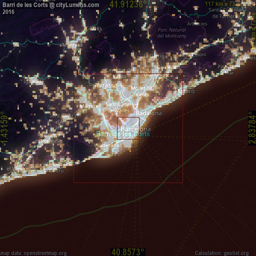
Analysis of Barri de les Corts night lights 2016
Square area 10x10 km:
 58.84%
90-99
26.87%80-89
1.02%70-79
5.27%60-69
4.76%50-59
2.21%40-49
1.02%30-39
0%20-29
0%10-19
0%0-9
0%Square area 50x50 km:
11.43%90-99
10.07%80-89
3.93%70-79
5.06%60-69
7.26%50-59
5.52%40-49
3.43%30-39
3.84%20-29
7.06%10-19
6.72%0-9
35.68%Clear (daylight) street map image can be seen on geolist.org.
Map coordinates:
41° 54' 44.5" North, 1° 25' 53.7" East
41° 23' 13.1" North, 2° 8' 5" East
40° 51' 26.3" North, 2° 50' 16.2" East
Some cities around Barri de les Corts sort by population:
• Sarrià-Sant Gervasi
1.6 km =1 mi,  14°
14°
• Les Corts
0.4 km =0.2 mi,  272°
272°
• la Nova Esquerra de l'Eixample
1.3 km =0.8 mi,  109°
109°
• Sant Gervasi - Galvany
1.4 km =0.9 mi,  30°
30°
• Sants
1.4 km =0.9 mi,  168°
168°
• Sants - Badal
1.5 km =0.9 mi,  203°
203°
• Las Tres Torres
1.5 km =0.9 mi,  342°
342°
• Hostafrancs
1.3 km =0.8 mi,  148°
148°
11549821 (p: 46,412)
Sources (retrieved 2019-11-25):
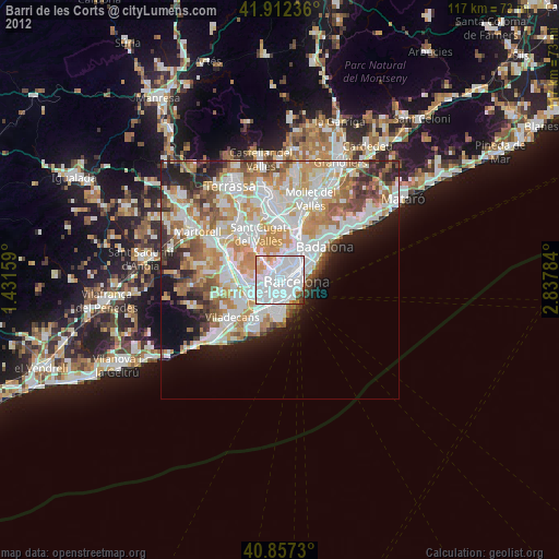
» Earth at Night: Flat Maps 2012, 2016