Sarrià-Sant Gervasi night lights from space
Night Light of Sarrià-Sant Gervasi (Catalonia) from space (Spain) Src. Average luminocity for 10x10km area is 93.5901% and for 50x50km: 43.4002%.
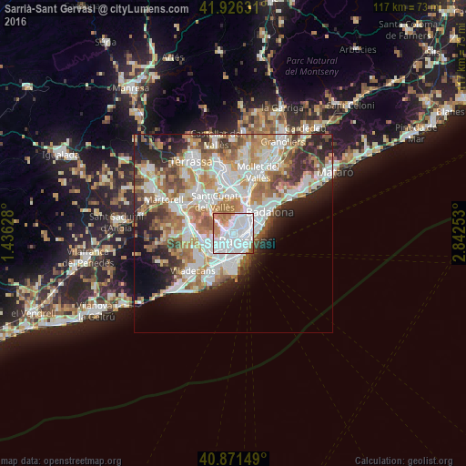
Analysis of Sarrià-Sant Gervasi night lights 2016
Square area 10x10 km:
 56.12%
90-99
25.34%80-89
1.02%70-79
6.8%60-69
9.01%50-59
1.36%40-49
0.34%30-39
0%20-29
0%10-19
0%0-9
0%Square area 50x50 km:
11.6%90-99
10.37%80-89
4.17%70-79
5.32%60-69
7.63%50-59
5.79%40-49
3.56%30-39
4%20-29
7.37%10-19
6.94%0-9
33.24%Clear (daylight) street map image can be seen on geolist.org.
Map coordinates:
41° 55' 34.7" North, 1° 26' 10.6" East
41° 24' 3.7" North, 2° 8' 21.8" East
40° 52' 17.4" North, 2° 50' 33.1" East
Some cities around Sarrià-Sant Gervasi sort by population:
• Gràcia
1.4 km =0.9 mi,  84°
84°
• la Vila de Gràcia
1.5 km =0.9 mi, 80°
• Sant Gervasi - Galvany
0.5 km =0.3 mi,  142°
142°
• Barri de les Corts
1.6 km =1 mi,  194°
194°
• el Putxet i el Farró
0.8 km =0.5 mi,  29°
29°
• La Bonanova
0.8 km =0.5 mi,  312°
312°
• Las Tres Torres
0.9 km =0.6 mi,  261°
261°
• Vallcarca
1.3 km =0.8 mi,  17°
17°
6544102 (p: 147,912)
Sources (retrieved 2019-11-25):
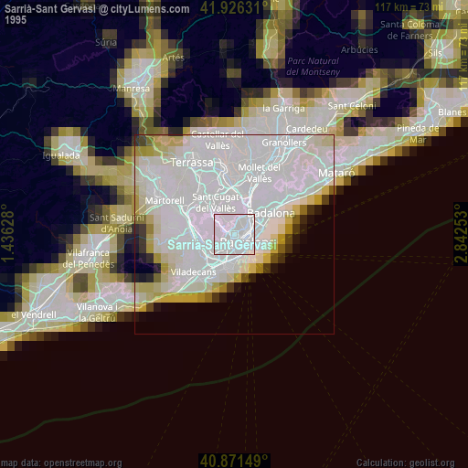
» NASA, Earths city lights 1995
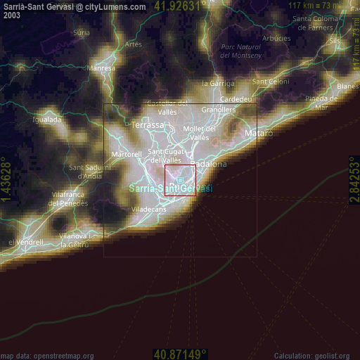
» NASA city lights 2003
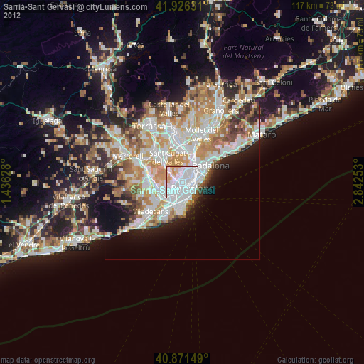
» Earth at Night: Flat Maps 2012, 2016