Les Corts night lights from space
Night Light of Les Corts (Catalonia) from space (Spain) Src. Average luminocity for 10x10km area is 94.5765% and for 50x50km: 42.0187%.
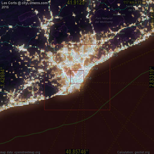
Analysis of Les Corts night lights 2016
Square area 10x10 km:
 57.48%
90-99
26.87%80-89
1.7%70-79
5.61%60-69
5.78%50-59
2.55%40-49
0%30-39
0%20-29
0%10-19
0%0-9
0%Square area 50x50 km:
11.36%90-99
10.01%80-89
3.98%70-79
5.03%60-69
7.31%50-59
5.54%40-49
3.49%30-39
3.86%20-29
7.24%10-19
7.09%0-9
35.09%Clear (daylight) street map image can be seen on geolist.org.
Map coordinates:
41° 54' 45" North, 1° 25' 37" East
41° 23' 13.6" North, 2° 7' 48.3" East
40° 51' 26.9" North, 2° 49' 59.5" East
Some cities around Les Corts sort by population:
• la Nova Esquerra de l'Eixample
1.6 km =1 mi,  105°
105°
• Sant Gervasi - Galvany
1.6 km =1 mi,  43°
43°
• Barri de les Corts
0.4 km =0.2 mi,  92°
92°
• Sants
1.6 km =1 mi,  154°
154°
• Sants - Badal
1.4 km =0.9 mi,  187°
187°
• la Maternitat i Sant Ramon
1.2 km =0.7 mi,  238°
238°
• Las Tres Torres
1.4 km =0.9 mi,  357°
357°
• Hostafrancs
1.6 km =1 mi,  136°
136°
6544101 (p: 82,270)
Sources (retrieved 2019-11-25):
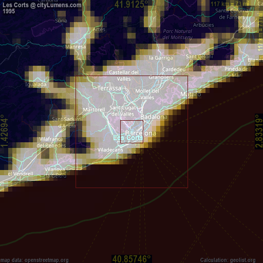
» NASA, Earths city lights 1995
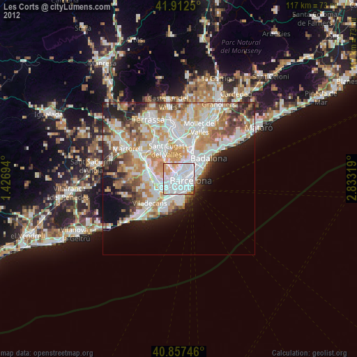
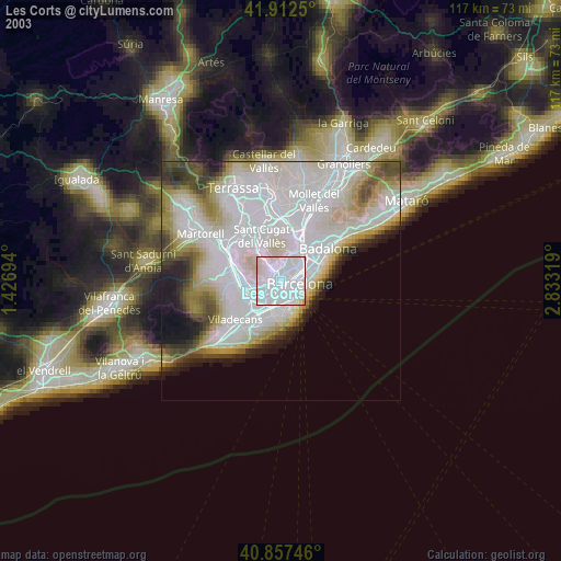
» NASA city lights 2003
» Earth at Night: Flat Maps 2012, 2016