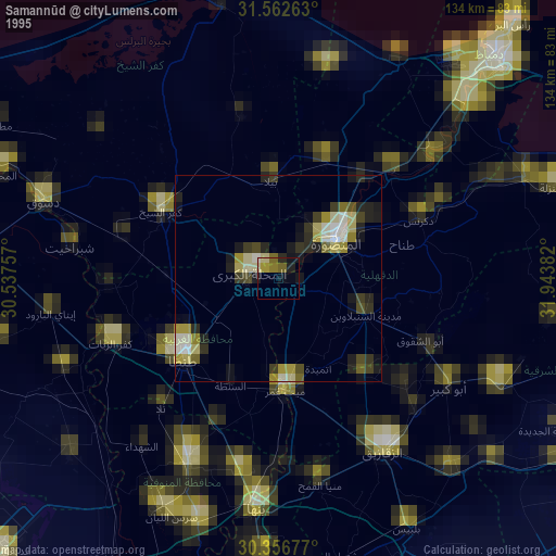
Samannūd night lights from space
Night Light of Samannūd (Gharbia) from space (Egypt) Src. Average luminocity for 10x10km area is 81.3718% and for 50x50km: 73.1461%.
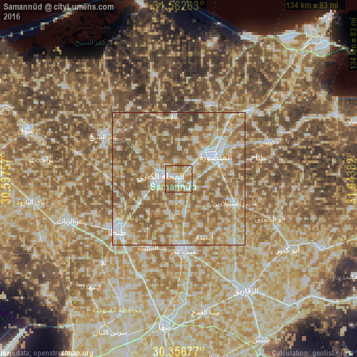
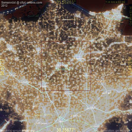
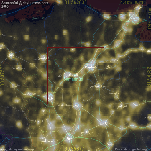
Analysis of Samannūd night lights 2016
Square area 10x10 km:
 18.13%
90-99
20.51%80-89
16.3%70-79
13.92%60-69
21.79%50-59
9.34%40-49
0%30-39
0%20-29
0%10-19
0%0-9
0%Square area 50x50 km:
9.66%90-99
13.54%80-89
15.47%70-79
13.86%60-69
19.33%50-59
20.95%40-49
6.57%30-39
0.61%20-29
0.02%10-19
0%0-9
0%Clear (daylight) street map image can be seen on geolist.org.
Map coordinates:
31° 33' 45.5" North, 30° 32' 15.3" East
30° 57' 41.8" North, 31° 14' 26.5" East
30° 21' 24.4" North, 31° 56' 37.8" East
Some cities around Samannūd sort by population:
• Al Maḩallah al Kubrá
7.1 km =4.4 mi,  278°
278°
• Al Manşūrah
15.7 km =9.8 mi,  58°
58°
• Tanda
29.8 km =18.5 mi,  229°
229°
• Ţalkhā
16.6 km =10.3 mi,  51°
51°
• Zefta
27.5 km =17.1 mi,  179°
179°
• Diyarb Najm
29.9 km =18.6 mi,  140°
140°
• Ajā
5.2 km =3.2 mi,  115°
115°
• Quţūr
27.2 km =16.9 mi,  272°
272°
349715 (p: 54,980)
Sources (retrieved 2019-11-25):
» NASA, Earths city lights 1995
» NASA city lights 2003
» Earth at Night: Flat Maps 2012, 2016