Ţalkhā night lights from space
Night Light of Ţalkhā (Dakahlia) from space (Egypt) Src. Average luminocity for 10x10km area is 90.6374% and for 50x50km: 68.9511%.
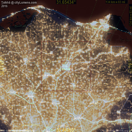
Analysis of Ţalkhā night lights 2016
Square area 10x10 km:
 32.6%
32.6%90-99
31.14%80-89
14.65%70-79
13.37%60-69
8.06%50-59
0.18%40-49
0%30-39
0%20-29
0%10-19
0%0-9
0%Square area 50x50 km:
8.2%90-99
11.14%80-89
14.06%70-79
11.76%60-69
16.38%50-59
21.33%40-49
12.82%30-39
3.9%20-29
0.39%10-19
0%0-9
0%Clear (daylight) street map image can be seen on geolist.org.
Map coordinates:
31° 39' 15.6" North, 30° 40' 29.1" East
31° 3' 14" North, 31° 22' 40.3" East
30° 26' 58.7" North, 32° 4' 51.6" East
Some cities around Ţalkhā sort by population:
• Al Maḩallah al Kubrá
22.1 km =13.7 mi,  245°
245°
• Al Manşūrah
2 km =1.2 mi,  172°
172°
• Dikirnis
21 km =13 mi,  79°
79°
• Bilqās
18 km =11.2 mi,  353°
353°
• Minyat an Naşr
26.5 km =16.5 mi,  72°
72°
• Samannūd
16.6 km =10.3 mi,  231°
231°
• Shirbīn
21.1 km =13.1 mi,  41°
41°
• Ajā
15 km =9.3 mi,  213°
213°
347591 (p: 157,737)
Sources (retrieved 2019-11-25):
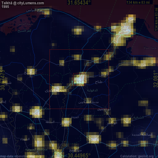
» NASA, Earths city lights 1995
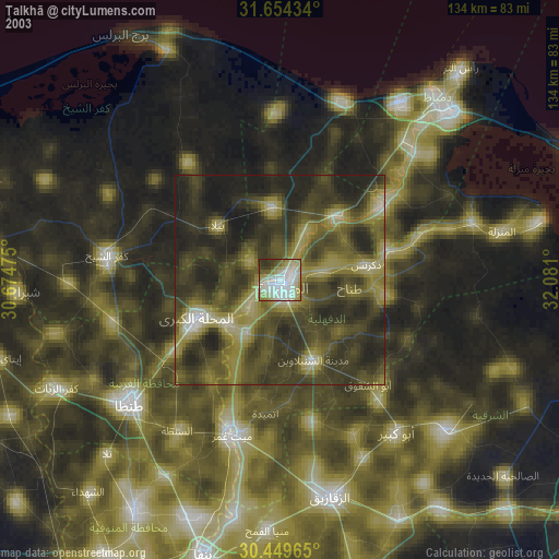
» NASA city lights 2003
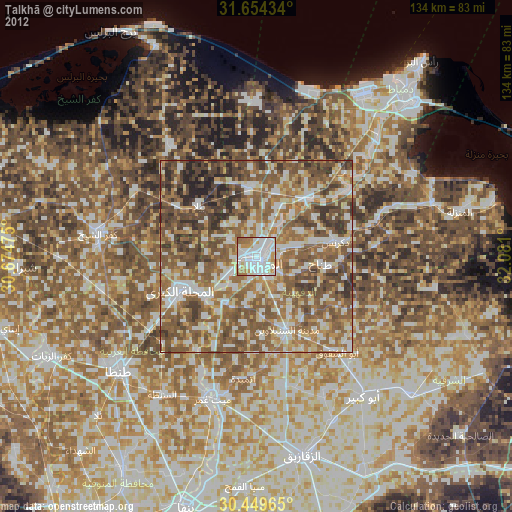
» Earth at Night: Flat Maps 2012, 2016