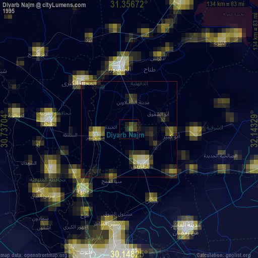
Diyarb Najm night lights from space
Night Light of Diyarb Najm (Sharqia) from space (Egypt) Src. Average luminocity for 10x10km area is 83.6958% and for 50x50km: 78.7881%.
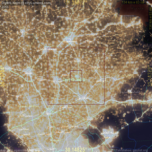
Analysis of Diyarb Najm night lights 2016
Square area 10x10 km:
 10.31%
90-99
22.03%80-89
33.74%70-79
20.1%60-69
13.46%50-59
0.35%40-49
0%30-39
0%20-29
0%10-19
0%0-9
0%Square area 50x50 km:
10.22%90-99
17.3%80-89
24.12%70-79
18.65%60-69
17.4%50-59
10.3%40-49
1.74%30-39
0.27%20-29
0%10-19
0%0-9
0%Clear (daylight) street map image can be seen on geolist.org.
Map coordinates:
31° 21' 24.2" North, 30° 44' 13.3" East
30° 45' 15.8" North, 31° 26' 24.6" East
30° 8' 53.7" North, 32° 8' 35.8" East
Some cities around Diyarb Najm sort by population:
• Zagazig
19.5 km =12.1 mi,  162°
162°
• Abū Kabīr
22.3 km =13.9 mi,  98°
98°
• Zefta
19.2 km =11.9 mi,  256°
256°
• Hihyā
16.9 km =10.5 mi,  123°
123°
• Al Qanāyāt
15.2 km =9.4 mi,  172°
172°
• Kafr Şaqr
18.3 km =11.4 mi,  76°
76°
• Ajā
25.3 km =15.7 mi,  325°
325°
• Al Ibrāhīmīyah
12.4 km =7.7 mi,  108°
108°
358095 (p: 51,841)
Sources (retrieved 2019-11-25):
» NASA, Earths city lights 1995
» NASA city lights 2003
» Earth at Night: Flat Maps 2012, 2016