Quţūr night lights from space
Night Light of Quţūr (Gharbia) from space (Egypt) Src. Average luminocity for 10x10km area is 72.1996% and for 50x50km: 69.6572%.
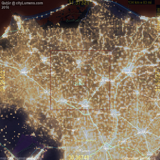
Analysis of Quţūr night lights 2016
Square area 10x10 km:
 6.04%
6.04%90-99
10.07%80-89
17.4%70-79
15.93%60-69
26.56%50-59
23.08%40-49
0.92%30-39
0%20-29
0%10-19
0%0-9
0%Square area 50x50 km:
6.9%90-99
10.81%80-89
14.48%70-79
13.27%60-69
18.48%50-59
23.93%40-49
11.29%30-39
0.85%20-29
0%10-19
0%0-9
0%Clear (daylight) street map image can be seen on geolist.org.
Map coordinates:
31° 34' 23.6" North, 30° 15' 10.9" East
30° 58' 20.1" North, 30° 57' 22.1" East
30° 22' 2.9" North, 31° 39' 33.4" East
Some cities around Quţūr sort by population:
• Al Maḩallah al Kubrá
20.1 km =12.5 mi,  90°
90°
• Tanda
20.9 km =13 mi,  167°
167°
• Kafr ash Shaykh
15.6 km =9.7 mi,  354°
354°
• Kafr az Zayyāt
21 km =13 mi,  218°
218°
• Basyūn
14.1 km =8.8 mi,  255°
255°
• Samannūd
27.2 km =16.9 mi, 92°
• Talā
32.5 km =20.2 mi,  182°
182°
• Ajā
32.1 km =19.9 mi,  96°
96°
350376 (p: 23,842)
Sources (retrieved 2019-11-25):
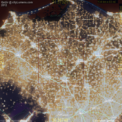
» Earth at Night: Flat Maps 2012, 2016