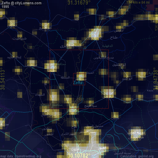
Zefta night lights from space
Night Light of Zefta (Gharbia) from space (Egypt) Src. Average luminocity for 10x10km area is 86.2727% and for 50x50km: 80.4787%.
Analysis of Zefta night lights 2016
Square area 10x10 km:
 22.03%
90-99
28.32%80-89
18.36%70-79
12.59%60-69
17.66%50-59
1.05%40-49
0%30-39
0%20-29
0%10-19
0%0-9
0%Square area 50x50 km:
12.01%90-99
20.15%80-89
22.74%70-79
18.04%60-69
17.18%50-59
9.38%40-49
0.5%30-39
0%20-29
0%10-19
0%0-9
0%Clear (daylight) street map image can be seen on geolist.org.
Map coordinates:
31° 19' 0.4" North, 30° 32' 28.1" East
30° 42' 51.1" North, 31° 14' 39.3" East
30° 6' 28.2" North, 31° 56' 50.6" East
Some cities around Zefta sort by population:
• Tanda
24.6 km =15.3 mi,  289°
289°
• Zagazig
28.4 km =17.6 mi,  119°
119°
• Shibīn al Kawm
28.8 km =17.9 mi,  231°
231°
• Samannūd
27.5 km =17.1 mi,  359°
359°
• Diyarb Najm
19.2 km =11.9 mi,  76°
76°
• Al Qanāyāt
23.3 km =14.5 mi, 116°
• Quwaysinā
18.6 km =11.6 mi,  206°
206°
• Ajā
25.7 km =16 mi,  9°
9°
346030 (p: 92,667)
Sources (retrieved 2019-11-25):
» NASA, Earths city lights 1995
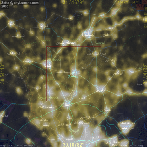
» NASA city lights 2003
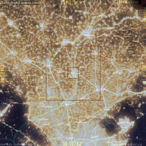
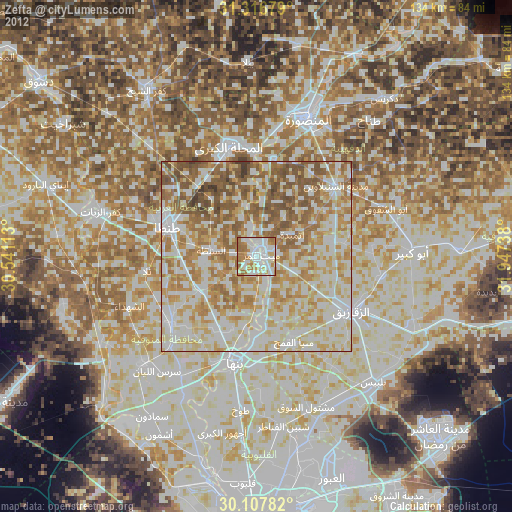
» Earth at Night: Flat Maps 2012, 2016