Tanda night lights from space
Night Light of Tanda (Gharbia) from space (Egypt) Src. Average luminocity for 10x10km area is 87.9178% and for 50x50km: 75.5694%.
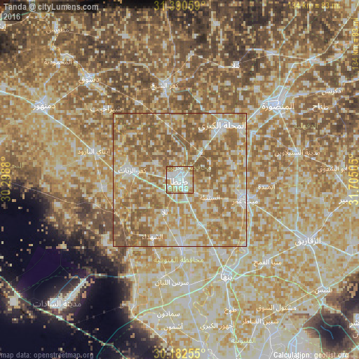
Analysis of Tanda night lights 2016
Square area 10x10 km:
 28.67%
90-99
29.37%80-89
10.66%70-79
15.56%60-69
14.16%50-59
1.57%40-49
0%30-39
0%20-29
0%10-19
0%0-9
0%Square area 50x50 km:
9.6%90-99
14.98%80-89
17.97%70-79
16.12%60-69
20.72%50-59
18.25%40-49
2.34%30-39
0.01%20-29
0%10-19
0%0-9
0%Clear (daylight) street map image can be seen on geolist.org.
Map coordinates:
31° 23' 26.1" North, 30° 17' 55.7" East
30° 47' 18.5" North, 31° 0' 6.9" East
30° 10' 57.2" North, 31° 42' 18.2" East
Some cities around Tanda sort by population:
• Al Maḩallah al Kubrá
25.7 km =16 mi,  37°
37°
• Shibīn al Kawm
26.2 km =16.3 mi,  178°
178°
• Zefta
24.6 km =15.3 mi,  109°
109°
• Kafr az Zayyāt
18 km =11.2 mi,  282°
282°
• Basyūn
24.6 km =15.3 mi,  313°
313°
• Talā
13.3 km =8.3 mi,  204°
204°
• Ash Shuhadā’
23.5 km =14.6 mi, 204°
• Quţūr
20.9 km =13 mi,  347°
347°
347497 (p: 404,901)
Sources (retrieved 2019-11-25):
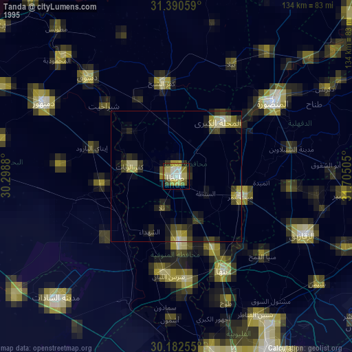
» NASA, Earths city lights 1995
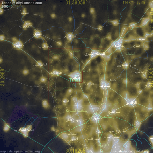
» NASA city lights 2003
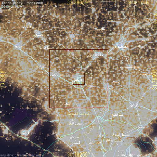
» Earth at Night: Flat Maps 2012, 2016