Ajā night lights from space
Night Light of Ajā (Dakahlia) from space (Egypt) Src. Average luminocity for 10x10km area is 79.4249% and for 50x50km: 73.3731%.
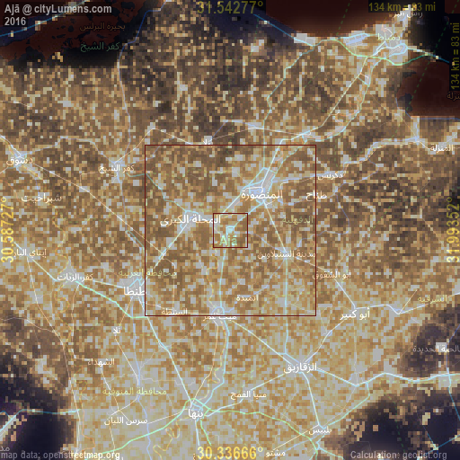
Analysis of Ajā night lights 2016
Square area 10x10 km:
 15.02%
90-99
19.96%80-89
13.55%70-79
17.22%60-69
21.25%50-59
12.82%40-49
0.18%30-39
0%20-29
0%10-19
0%0-9
0%Square area 50x50 km:
9.29%90-99
13.28%80-89
16.3%70-79
14.19%60-69
19.95%50-59
20.7%40-49
5.96%30-39
0.33%20-29
0%10-19
0%0-9
0%Clear (daylight) street map image can be seen on geolist.org.
Map coordinates:
31° 32' 34" North, 30° 35' 14.2" East
30° 56' 29.8" North, 31° 17' 25.4" East
30° 20' 12" North, 31° 59' 36.7" East
Some cities around Ajā sort by population:
• Al Maḩallah al Kubrá
12.2 km =7.6 mi,  285°
285°
• Al Manşūrah
13.6 km =8.5 mi,  39°
39°
• Ţalkhā
15 km =9.3 mi,  33°
33°
• Bilqās
31 km =19.3 mi,  11°
11°
• Zefta
25.7 km =16 mi,  189°
189°
• Samannūd
5.2 km =3.2 mi,  295°
295°
• Diyarb Najm
25.3 km =15.7 mi,  145°
145°
• Quţūr
32.1 km =19.9 mi,  276°
276°
361702 (p: 34,692)
Sources (retrieved 2019-11-25):
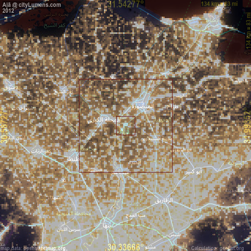
» Earth at Night: Flat Maps 2012, 2016