Alexandria night lights from space
Night Light of Alexandria from space (Egypt) Src. Average luminocity for 10x10km area is 85.1154% and for 50x50km: 44.0476%.
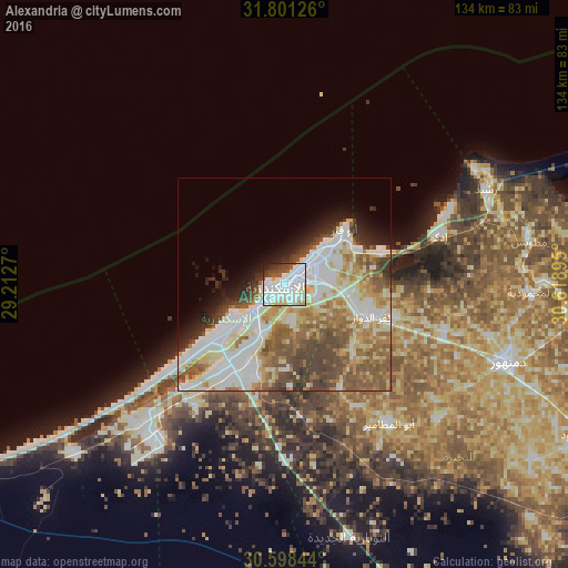
Analysis of Alexandria night lights 2016
Square area 10x10 km:
 44.32%
90-99
25.82%80-89
6.59%70-79
2.01%60-69
0.18%50-59
4.58%40-49
7.33%30-39
4.4%20-29
3.3%10-19
1.47%0-9
0%Square area 50x50 km:
10.76%90-99
11.29%80-89
6.44%70-79
4.52%60-69
5.56%50-59
7.4%40-49
6.49%30-39
3.65%20-29
3.36%10-19
4.73%0-9
35.8%Clear (daylight) street map image can be seen on geolist.org.
Map coordinates:
31° 48' 4.5" North, 29° 12' 45.7" East
31° 12' 6.3" North, 29° 54' 57" East
30° 35' 54.4" North, 30° 37' 8.2" East
Some cities around Alexandria sort by population:
• Kafr ad Dawwār
21.7 km =13.5 mi,  110°
110°
• Damanhūr
55.8 km =34.7 mi, 109°
• Idkū
38.2 km =23.7 mi,  72°
72°
• Disūq
70.1 km =43.6 mi,  96°
96°
• Ḩawsh ‘Īsá
48 km =29.8 mi,  132°
132°
• Rosetta
52.5 km =32.6 mi, 65°
• Fuwwah
60.2 km =37.4 mi,  89°
89°
• Abū al Maţāmīr
40.7 km =25.3 mi,  142°
142°
361058 (p: 3,811,516)
Sources (retrieved 2019-11-25):
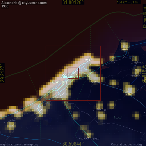
» NASA, Earths city lights 1995
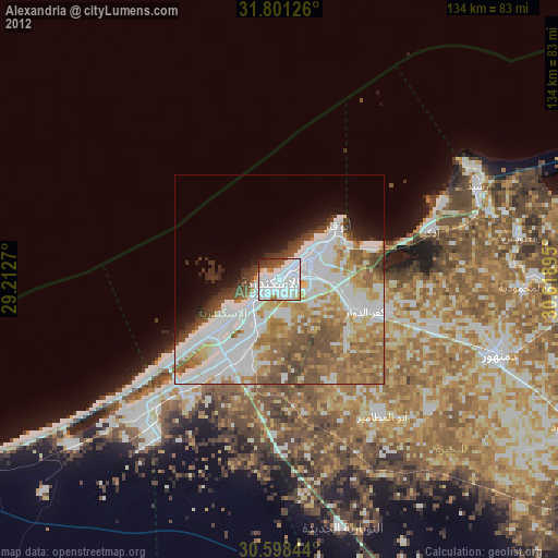
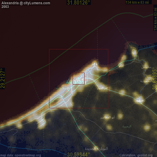
» NASA city lights 2003
» Earth at Night: Flat Maps 2012, 2016