Abū al Maţāmīr night lights from space
Night Light of Abū al Maţāmīr (Beheira) from space (Egypt) Src. Average luminocity for 10x10km area is 76.5192% and for 50x50km: 52.2402%.
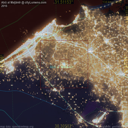
Analysis of Abū al Maţāmīr night lights 2016
Square area 10x10 km:
 4.37%
4.37%90-99
12.59%80-89
25.17%70-79
25%60-69
24.3%50-59
8.57%40-49
0%30-39
0%20-29
0%10-19
0%0-9
0%Square area 50x50 km:
1.76%90-99
4.42%80-89
10.07%70-79
10.37%60-69
15.4%50-59
15.8%40-49
11.26%30-39
9.63%20-29
7.21%10-19
7.97%0-9
6.11%Clear (daylight) street map image can be seen on geolist.org.
Map coordinates:
31° 30' 41.5" North, 29° 28' 16.5" East
30° 54' 36.6" North, 30° 10' 27.8" East
30° 18' 18.1" North, 30° 52' 39" East
Some cities around Abū al Maţāmīr sort by population:
• Alexandria
40.7 km =25.3 mi,  322°
322°
• Kafr ad Dawwār
25.2 km =15.7 mi,  350°
350°
• Damanhūr
31.2 km =19.4 mi,  63°
63°
• Idkū
45.7 km =28.4 mi,  14°
14°
• Disūq
51.4 km =31.9 mi, 61°
• Ḩawsh ‘Īsá
11.1 km =6.9 mi,  88°
88°
• Fuwwah
48.4 km =30.1 mi,  47°
47°
• Ad Dilinjāt
35.7 km =22.2 mi,  104°
104°
362882 (p: 41,302)
Sources (retrieved 2019-11-25):
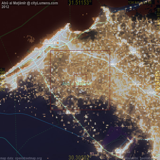
» Earth at Night: Flat Maps 2012, 2016