Kawm Umbū night lights from space
Night Light of Kawm Umbū (Aswan) from space (Egypt) Src. Average luminocity for 10x10km area is 70.506% and for 50x50km: 14.8889%.
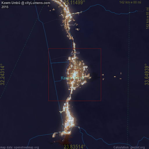
Analysis of Kawm Umbū night lights 2016
Square area 10x10 km:
 12.9%
12.9%90-99
16.27%80-89
4.37%70-79
9.33%60-69
14.68%50-59
29.17%40-49
12.9%30-39
0.4%20-29
0%10-19
0%0-9
0%Square area 50x50 km:
1.75%90-99
2.36%80-89
0.63%70-79
1.44%60-69
1.91%50-59
3.62%40-49
5.93%30-39
2.9%20-29
2.54%10-19
8.51%0-9
68.41%Clear (daylight) street map image can be seen on geolist.org.
Map coordinates:
25° 6' 54" North, 32° 14' 35.3" East
24° 28' 36.1" North, 32° 56' 46.5" East
23° 50' 6.5" North, 33° 38' 57.8" East
Some cities around Kawm Umbū sort by population:
• Luxor
139.3 km =86.6 mi,  347°
347°
• Aswan
43.2 km =26.8 mi,  186°
186°
• Qinā
188.9 km =117.4 mi, 353°
• Idfū
56.3 km =35 mi, 352°
• Isnā
99 km =61.5 mi,  336°
336°
• Kousa
161 km =100 mi, 353°
• Dishnā
189.2 km =117.6 mi, 345°
• Naja' Ḥammādī
188.7 km =117.3 mi, 337°
353802 (p: 59,787)
Sources (retrieved 2019-11-25):
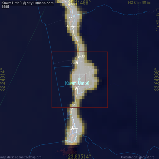
» NASA, Earths city lights 1995
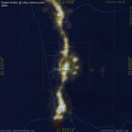
» NASA city lights 2003
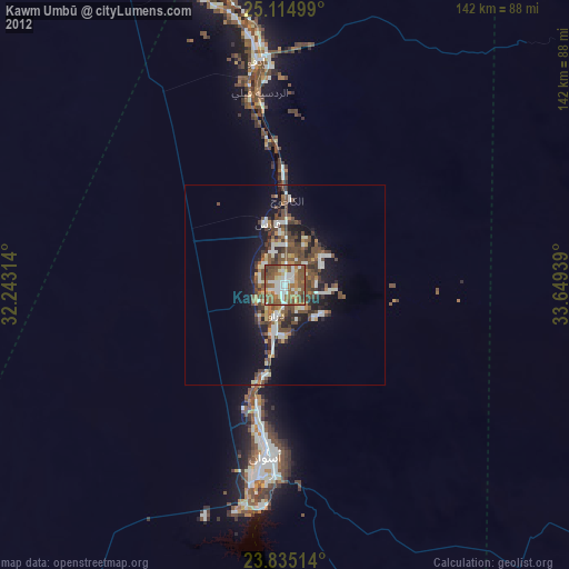
» Earth at Night: Flat Maps 2012, 2016