Rapla night lights from space
Night Light of Rapla (Raplamaa) from space (Estonia) Src. Average luminocity for 10x10km area is 3.7045% and for 50x50km: 0.4597%.
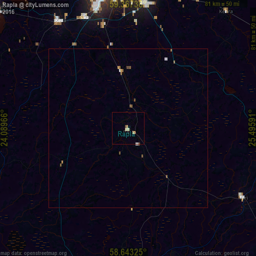
Analysis of Rapla night lights 2016
Square area 10x10 km:
100  0.22%
0.22%
90-99 1.08%
80-89 0.87%
70-79 0.43%
60-69 0.43%
50-59 0.11%
40-49 0.54%
30-39 0%
20-29 0%
10-19 0.43%
0-9 95.89%
0.22%90-99
1.08%80-89
0.87%70-79
0.43%60-69
0.43%50-59
0.11%40-49
0.54%30-39
0%20-29
0%10-19
0.43%0-9
95.89%Square area 50x50 km:
100 0.05%
90-99 0.07%
80-89 0.05%
70-79 0.06%
60-69 0.08%
50-59 0.15%
40-49 0.09%
30-39 0%
20-29 0%
10-19 0.02%
0-9 99.44%
0.05%90-99
0.07%80-89
0.05%70-79
0.06%60-69
0.08%50-59
0.15%40-49
0.09%30-39
0%20-29
0%10-19
0.02%0-9
99.44%Clear (daylight) street map image can be seen on geolist.org.
Map coordinates:
59° 22' 2.6" North, 24° 5' 22.8" East
59° 0' 26" North, 24° 47' 34" East
58° 38' 35.7" North, 25° 29' 45.3" East
Some cities around Rapla sort by population:
• Tallinn
47.8 km =29.7 mi,  357°
357°
• Pärnu
71.2 km =44.2 mi,  193°
193°
• Maardu
52.1 km =32.4 mi,  11°
11°
• Haapsalu
72.1 km =44.8 mi,  264°
264°
• Paide
45.9 km =28.5 mi,  107°
107°
• Keila
39.4 km =24.5 mi,  326°
326°
• Türi
42.9 km =26.7 mi,  121°
121°
• Saue
37.7 km =23.4 mi,  338°
338°
589116 (p: 5,684)
Sources (retrieved 2019-11-25):
» Earth at Night: Flat Maps 2012, 2016