Pärnu night lights from space
Night Light of Pärnu (Pärnumaa) from space (Estonia) Src. Average luminocity for 10x10km area is 33.6145% and for 50x50km: 1.9054%.

Analysis of Pärnu night lights 2016
Square area 10x10 km:
 10.88%
90-99
8.96%80-89
1.13%70-79
2.49%60-69
1.93%50-59
1.13%40-49
1.13%30-39
0.45%20-29
11.79%10-19
33.33%0-9
26.76%Square area 50x50 km:
0.44%90-99
0.38%80-89
0.06%70-79
0.12%60-69
0.2%50-59
0.12%40-49
0.14%30-39
0.34%20-29
0.49%10-19
1.84%0-9
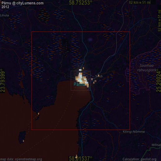
95.85%Clear (daylight) street map image can be seen on geolist.org.
Map coordinates:
58° 45' 9.1" North, 23° 47' 38.4" East
58° 23' 9.2" North, 24° 29' 49.6" East
58° 0' 55.3" North, 25° 12' 0.9" East
Some cities around Pärnu sort by population:
• Viljandi
63.8 km =39.6 mi,  92°
92°
• Türi
71.7 km =44.6 mi,  49°
49°
• Rapla
71.2 km =44.2 mi,  13°
13°
• Rūjiena, LV
73.1 km =45.4 mi,  137°
137°
• Salacgrīva, LV
70.8 km =44 mi,  186°
186°
• Mazsalaca, LV
66.7 km =41.4 mi,  150°
150°
• Aloja, LV
72.3 km =44.9 mi,  161°
161°
• Naukšēni, LV
79.3 km =49.3 mi,  134°
134°
589580 (p: 44,192)
Sources (retrieved 2019-11-25):
» Earth at Night: Flat Maps 2012, 2016