Türi night lights from space
Night Light of Türi (Järvamaa) from space (Estonia) Src. Average luminocity for 10x10km area is 3.8345% and for 50x50km: 0.4267%.
Analysis of Türi night lights 2016
Square area 10x10 km:
100  0.79%
0.79%
90-99 1.47%
80-89 0%
70-79 0.45%
60-69 0.91%
50-59 0%
40-49 0%
30-39 0%
20-29 0%
10-19 0%
0-9 96.37%
0.79%90-99
1.47%80-89
0%70-79
0.45%60-69
0.91%50-59
0%40-49
0%30-39
0%20-29
0%10-19
0%0-9
96.37%Square area 50x50 km:
100 0.06%
90-99 0.11%
80-89 0.04%
70-79 0.07%
60-69 0.09%
50-59 0.04%
40-49 0.03%
30-39 0%
20-29 0%
10-19 0%
0-9 99.56%
0.06%90-99
0.11%80-89
0.04%70-79
0.07%60-69
0.09%50-59
0.04%40-49
0.03%30-39
0%20-29
0%10-19
0%0-9
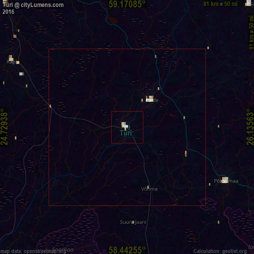
99.56%Clear (daylight) street map image can be seen on geolist.org.
Map coordinates:
59° 10' 15.1" North, 24° 43' 45.8" East
58° 48' 31" North, 25° 25' 57" East
58° 26' 33.2" North, 26° 8' 8.3" East
Some cities around Türi sort by population:
• Pärnu
71.7 km =44.6 mi,  229°
229°
• Viljandi
50.3 km =31.3 mi,  169°
169°
• Maardu
77.4 km =48.1 mi,  340°
340°
• Paide
11.2 km =7 mi,  39°
39°
• Tapa
58.6 km =36.4 mi,  30°
30°
• Jõgeva
55.8 km =34.7 mi,  97°
97°
• Rapla
42.9 km =26.7 mi,  301°
301°
• Saue
76.2 km =47.3 mi,  318°
318°
588153 (p: 6,138)
Sources (retrieved 2019-11-25):
» Earth at Night: Flat Maps 2012, 2016