Viljandi night lights from space
Night Light of Viljandi (Viljandimaa) from space (Estonia) Src. Average luminocity for 10x10km area is 16.0601% and for 50x50km: 0.7661%.
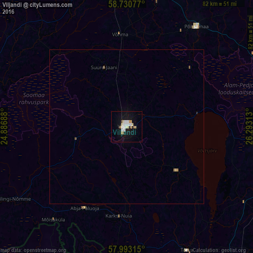
Analysis of Viljandi night lights 2016
Square area 10x10 km:
 3.29%
3.29%90-99
3.63%80-89
2.83%70-79
1.59%60-69
1.02%50-59
0.34%40-49
0.45%30-39
0%20-29
0%10-19
16.33%0-9
70.52%Square area 50x50 km:
0.13%90-99
0.15%80-89
0.13%70-79
0.08%60-69
0.08%50-59
0.05%40-49
0.02%30-39
0%20-29
0.02%10-19
0.65%0-9
98.69%Clear (daylight) street map image can be seen on geolist.org.
Map coordinates:
58° 43' 50.8" North, 24° 53' 12.8" East
58° 21' 50" North, 25° 35' 24" East
57° 59' 35.3" North, 26° 17' 35.3" East
Some cities around Viljandi sort by population:
• Pärnu
63.8 km =39.6 mi,  272°
272°
• Paide
58 km =36 mi,  358°
358°
• Jõgeva
63.1 km =39.2 mi,  47°
47°
• Türi
50.3 km =31.3 mi,  349°
349°
• Elva
51 km =31.7 mi,  107°
107°
• Rūjiena, LV
54 km =33.6 mi,  196°
196°
• Mazsalaca, LV
63.9 km =39.7 mi,  209°
209°
• Naukšēni, LV
54 km =33.6 mi,  188°
188°
587577 (p: 20,309)
Sources (retrieved 2019-11-25):
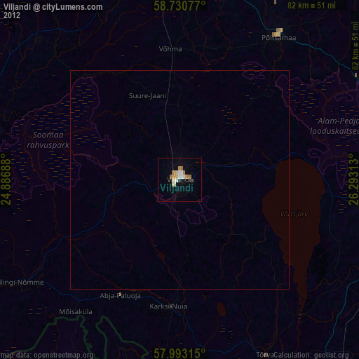
» Earth at Night: Flat Maps 2012, 2016