Salacgrīva night lights from space
Night Light of Salacgrīva (Salacgrīvas) from space (Latvia) Src. Average luminocity for 10x10km area is 1.7318% and for 50x50km: 0.141%.
Analysis of Salacgrīva night lights 2016
Square area 10x10 km:
 0%
0%90-99
0%80-89
0.11%70-79
1.25%60-69
0.45%50-59
0%40-49
0%30-39
0.45%20-29
0%10-19
0.45%0-9
97.27%Square area 50x50 km:
0%90-99
0%80-89
0%70-79
0.05%60-69
0.06%50-59
0%40-49
0%30-39
0.11%20-29
0.01%10-19
0.02%0-9
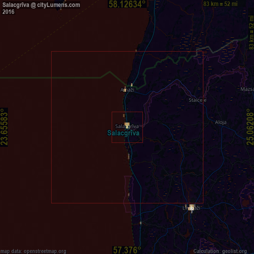
99.75%Clear (daylight) street map image can be seen on geolist.org.
Map coordinates:
58° 7' 34.8" North, 23° 39' 21" East
57° 45' 11.2" North, 24° 21' 32.2" East
57° 22' 33.6" North, 25° 3' 43.5" East
Some cities around Salacgrīva sort by population:
• Limbaži
34.3 km =21.3 mi,  141°
141°
• Rūjiena
59.8 km =37.2 mi,  74°
74°
• Saulkrasti
54.7 km =34 mi,  176°
176°
• Mazsalaca
43 km =26.7 mi, 73°
• Aloja
30.8 km =19.1 mi,  87°
87°
• Kocēni
63.8 km =39.6 mi,  113°
113°
• Stalbe
58.4 km =36.3 mi, 136°
• Matīši
47.9 km =29.8 mi,  97°
97°
455910 (p: 3,427)
Sources (retrieved 2019-11-25):
» Earth at Night: Flat Maps 2012, 2016