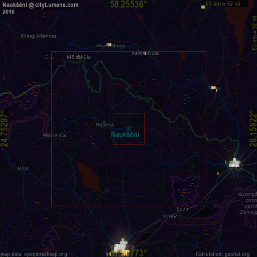
Naukšēni night lights from space
Night Light of Naukšēni from space (Latvia) Src. Average luminocity for 10x10km area is 0% and for 50x50km: 0.0262%.
Analysis of Naukšēni night lights 2016
Square area 10x10 km:
100  0%
0%
90-99 0%
80-89 0%
70-79 0%
60-69 0%
50-59 0%
40-49 0%
30-39 0%
20-29 0%
10-19 0%
0-9 100%
0%90-99
0%80-89
0%70-79
0%60-69
0%50-59
0%40-49
0%30-39
0%20-29
0%10-19
0%0-9
100%Square area 50x50 km:
100 0%
90-99 0%
80-89 0%
70-79 0%
60-69 0.02%
50-59 0.02%
40-49 0%
30-39 0%
20-29 0%
10-19 0.02%
0-9 99.95%
0%90-99
0%80-89
0%70-79
0%60-69
0.02%50-59
0.02%40-49
0%30-39
0%20-29
0%10-19
0.02%0-9
99.95%Clear (daylight) street map image can be seen on geolist.org.
Map coordinates:
58° 15' 19.3" North, 24° 45' 10.7" East
57° 53' 0.6" North, 25° 27' 21.9" East
57° 30' 27.8" North, 26° 9' 33.2" East
Some cities around Naukšēni sort by population:
• Valmiera
38.1 km =23.7 mi,  182°
182°
• Valga, EE
36.9 km =22.9 mi,  108°
108°
• Valka
34.9 km =21.7 mi, 110°
• Rūjiena
7.5 km =4.7 mi,  281°
281°
• Mazsalaca
23.8 km =14.8 mi,  264°
264°
• Strenči
31.7 km =19.7 mi,  154°
154°
• Aloja
36.6 km =22.7 mi,  249°
249°
• Matīši
27 km =16.8 mi,  220°
220°
457161 (p: 0)
Sources (retrieved 2019-11-25):
» Earth at Night: Flat Maps 2012, 2016