Mazsalaca night lights from space
Night Light of Mazsalaca from space (Latvia) Src. Average luminocity for 10x10km area is 0% and for 50x50km: 0.0042%.
Analysis of Mazsalaca night lights 2016
Square area 10x10 km:
100  0%
0%
90-99 0%
80-89 0%
70-79 0%
60-69 0%
50-59 0%
40-49 0%
30-39 0%
20-29 0%
10-19 0%
0-9 100%
0%90-99
0%80-89
0%70-79
0%60-69
0%50-59
0%40-49
0%30-39
0%20-29
0%10-19
0%0-9
100%Square area 50x50 km:
100 0%
90-99 0%
80-89 0%
70-79 0%
60-69 0%
50-59 0%
40-49 0%
30-39 0%
20-29 0%
10-19 0.02%
0-9 99.98%
0%90-99
0%80-89
0%70-79
0%60-69
0%50-59
0%40-49
0%30-39
0%20-29
0%10-19
0.02%0-9
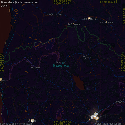
99.98%Clear (daylight) street map image can be seen on geolist.org.
Map coordinates:
58° 14' 7.3" North, 24° 21' 5.9" East
57° 51' 47.8" North, 25° 3' 17.1" East
57° 29' 14.4" North, 25° 45' 28.4" East
Some cities around Mazsalaca sort by population:
• Valmiera
42.1 km =26.2 mi,  148°
148°
• Limbaži
43.8 km =27.2 mi,  207°
207°
• Rūjiena
16.8 km =10.4 mi,  76°
76°
• Salacgrīva
43 km =26.7 mi,  253°
253°
• Aloja
15 km =9.3 mi,  224°
224°
• Kocēni
41.7 km =25.9 mi,  156°
156°
• Naukšēni
23.8 km =14.8 mi, 84°
• Matīši
19.3 km =12 mi, 161°
457533 (p: 2,412)
Sources (retrieved 2019-11-25):
» Earth at Night: Flat Maps 2012, 2016