Sucúa night lights from space
Night Light of Sucúa (Morona-Santiago) from space (Ecuador) Src. Average luminocity for 10x10km area is 10.6255% and for 50x50km: 1.4852%.
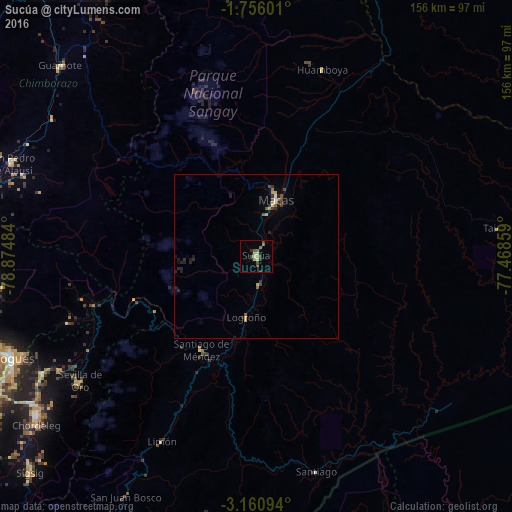
Analysis of Sucúa night lights 2016
Square area 10x10 km:
 0%
0%90-99
0%80-89
3.46%70-79
1.3%60-69
1.52%50-59
2.38%40-49
3.25%30-39
1.95%20-29
1.3%10-19
0.87%0-9
83.98%Square area 50x50 km:
0%90-99
0.09%80-89
0.19%70-79
0.33%60-69
0.09%50-59
0.35%40-49
0.32%30-39
0.25%20-29
0.67%10-19
0.35%0-9
97.37%Clear (daylight) street map image can be seen on geolist.org.
Map coordinates:
1° 45' 21.6" South, 78° 52' 29.4" West
2° 27' 31.2" South, 78° 10' 18.2" West
3° 9' 39.4" South, 77° 28' 6.9" West
Some cities around Sucúa sort by population:
• Cuenca
104.7 km =65.1 mi,  242°
242°
• Riobamba
102.3 km =63.6 mi,  328°
328°
• Azogues
81.4 km =50.6 mi,  247°
247°
• Macas
18 km =11.2 mi,  21°
21°
• Gualaceo
82.9 km =51.5 mi,  234°
234°
• Alausí
80.2 km =49.8 mi,  290°
290°
• Cañar
86 km =53.4 mi,  262°
262°
• Palora
87.3 km =54.2 mi, 15°
3650956 (p: 7,413)
Sources (retrieved 2019-11-25):
» Earth at Night: Flat Maps 2012, 2016