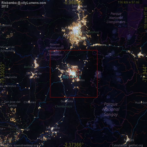
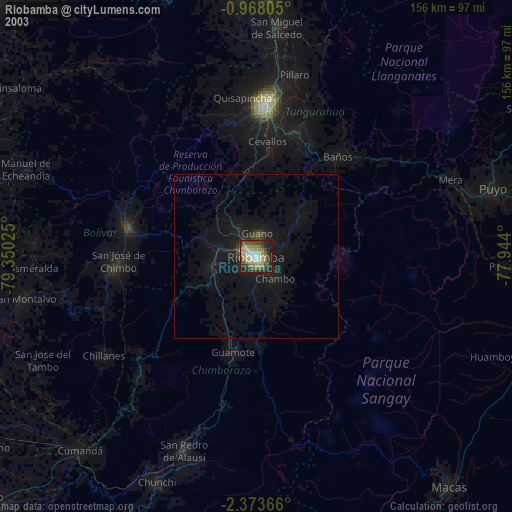
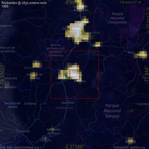
Riobamba night lights from space
Night Light of Riobamba (Chimborazo) from space (Ecuador) Src. Average luminocity for 10x10km area is 68.684% and for 50x50km: 8.4883%.
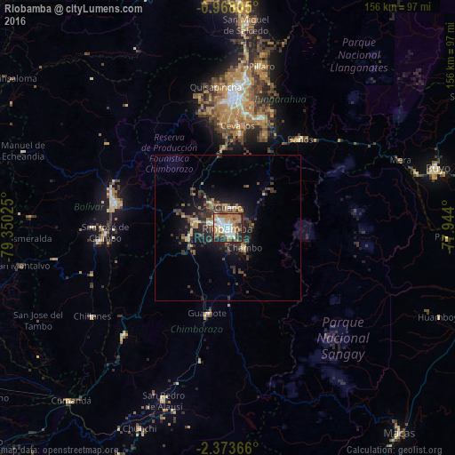
Analysis of Riobamba night lights 2016
Square area 10x10 km:
 14.5%
14.5%90-99
16.23%80-89
6.93%70-79
10.17%60-69
19.91%50-59
4.33%40-49
8.01%30-39
9.09%20-29
10.39%10-19
0.43%0-9
0%Square area 50x50 km:
0.66%90-99
0.8%80-89
1.05%70-79
0.91%60-69
1.6%50-59
1.01%40-49
1.7%30-39
2.65%20-29
3.29%10-19
5.44%0-9
80.88%Clear (daylight) street map image can be seen on geolist.org.
Map coordinates:
0° 58' 5" South, 79° 21' 0.9" West
1° 40' 15.5" South, 78° 38' 49.6" West
2° 22' 25.2" South, 77° 56' 38.4" West
Some cities around Riobamba sort by population:
• Ambato
47 km =29.2 mi,  4°
4°
• Guaranda
40.3 km =25 mi,  282°
282°
• Pelileo
39.6 km =24.6 mi,  16°
16°
• Alausí
63.2 km =39.3 mi,  200°
200°
• Guano
7.2 km =4.5 mi,  14°
14°
• San Miguel
44.2 km =27.5 mi,  264°
264°
• Baños
39.4 km =24.5 mi,  39°
39°
• Píllaro
56.4 km =35 mi, 11°
3652350 (p: 124,478)
Sources (retrieved 2019-11-25):
» NASA, Earths city lights 1995
» NASA city lights 2003
» Earth at Night: Flat Maps 2012, 2016