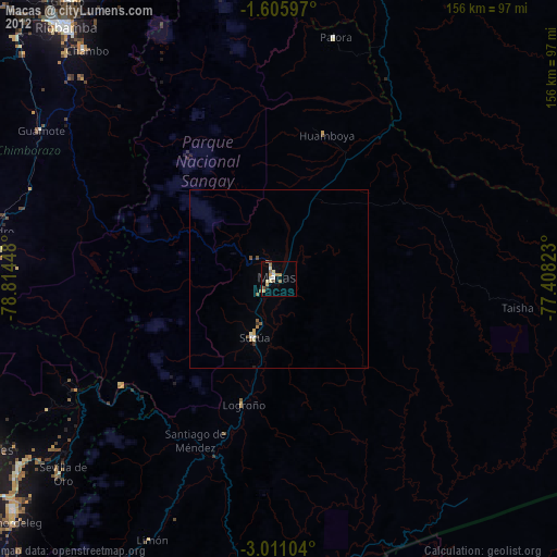
Macas night lights from space
Night Light of Macas (Morona-Santiago) from space (Ecuador) Src. Average luminocity for 10x10km area is 16.2597% and for 50x50km: 1.2388%.
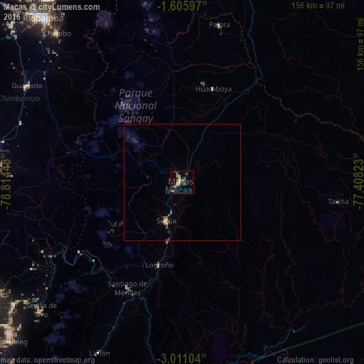
Analysis of Macas night lights 2016
Square area 10x10 km:
 0%
0%90-99
2.16%80-89
1.3%70-79
4.33%60-69
0.65%50-59
4.76%40-49
3.9%30-39
3.25%20-29
3.9%10-19
2.6%0-9
73.16%Square area 50x50 km:
0%90-99
0.09%80-89
0.19%70-79
0.22%60-69
0.09%50-59
0.29%40-49
0.29%30-39
0.22%20-29
0.42%10-19
0.22%0-9
97.98%Clear (daylight) street map image can be seen on geolist.org.
Map coordinates:
1° 36' 21.5" South, 78° 48' 52.1" West
2° 18' 31.2" South, 78° 6' 40.9" West
3° 0' 39.7" South, 77° 24' 29.6" West
Some cities around Macas sort by population:
• Riobamba
92.6 km =57.5 mi,  319°
319°
• Azogues
94.9 km =59 mi,  239°
239°
• Puyo
92.5 km =57.5 mi,  7°
7°
• Alausí
82.6 km =51.3 mi,  278°
278°
• Guano
97 km =60.3 mi, 323°
• Cañar
96.2 km =59.8 mi,  253°
253°
• Sucúa
18 km =11.2 mi,  201°
201°
• Palora
69.5 km =43.2 mi, 13°
3654541 (p: 23,687)
Sources (retrieved 2019-11-25):
» Earth at Night: Flat Maps 2012, 2016