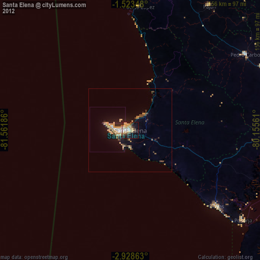
Santa Elena night lights from space
Night Light of Santa Elena from space (Ecuador) Src. Average luminocity for 10x10km area is 63.3528% and for 50x50km: 10.1102%.
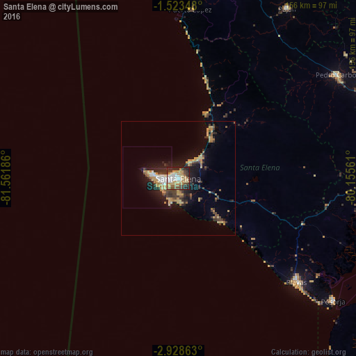
Analysis of Santa Elena night lights 2016
Square area 10x10 km:
 9.52%
9.52%90-99
13.42%80-89
12.77%70-79
13.64%60-69
7.14%50-59
5.41%40-49
9.09%30-39
11.04%20-29
16.23%10-19
1.73%0-9
0%Square area 50x50 km:
0.83%90-99
1.04%80-89
1.94%70-79
2.09%60-69
1.1%50-59
0.76%40-49
1.51%30-39
2.19%20-29
2.73%10-19
6.31%0-9
79.51%Clear (daylight) street map image can be seen on geolist.org.
Map coordinates:
1° 31' 24.5" South, 81° 33' 42.7" West
2° 13' 34.4" South, 80° 51' 31.4" West
2° 55' 43.1" South, 80° 9' 20.2" West
Some cities around Santa Elena sort by population:
• La Libertad
5.8 km =3.6 mi,  262°
262°
• Salinas
10.4 km =6.5 mi,  277°
277°
• Jipijapa
102.4 km =63.6 mi,  17°
17°
• El Triunfo
104.3 km =64.8 mi,  71°
71°
• Playas
69.1 km =42.9 mi,  130°
130°
• Pedro Carbo
83.2 km =51.7 mi,  56°
56°
• Paján
88.8 km =55.2 mi,  32°
32°
• Lomas de Sargentillo
94.2 km =58.5 mi, 66°
3651438 (p: 42,214)
Sources (retrieved 2019-11-25):
» Earth at Night: Flat Maps 2012, 2016