Pasaje night lights from space
Night Light of Pasaje (El Oro) from space (Ecuador) Src. Average luminocity for 10x10km area is 29.2186% and for 50x50km: 9.0818%.
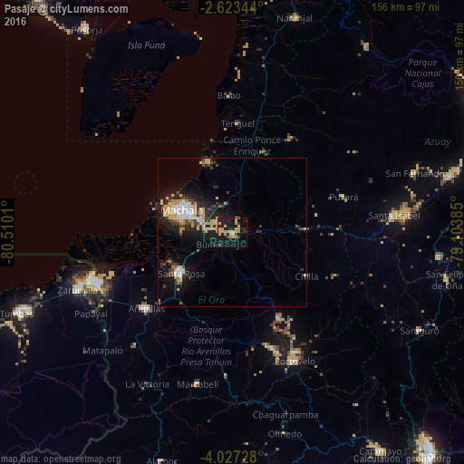
Analysis of Pasaje night lights 2016
Square area 10x10 km:
 0%
0%90-99
0%80-89
9.52%70-79
12.55%60-69
1.52%50-59
0.43%40-49
1.95%30-39
4.55%20-29
6.93%10-19
35.06%0-9
27.49%Square area 50x50 km:
1.04%90-99
1.01%80-89
1.83%70-79
2.12%60-69
0.34%50-59
0.42%40-49
1.06%30-39
1.58%20-29
2.85%10-19
7.43%0-9
80.32%Clear (daylight) street map image can be seen on geolist.org.
Map coordinates:
2° 37' 24.4" South, 80° 30' 36.4" West
3° 19' 32.2" South, 79° 48' 25.1" West
4° 1' 38.2" South, 79° 6' 13.9" West
Some cities around Pasaje sort by population:
• Machala
18.6 km =11.6 mi,  293°
293°
• Santa Rosa
21.8 km =13.5 mi,  231°
231°
• Huaquillas
49.9 km =31 mi,  250°
250°
• Piñas
41.9 km =26 mi,  160°
160°
• Zaruma
46.1 km =28.6 mi,  151°
151°
• Baláo
46.1 km =28.6 mi,  358°
358°
• Portovelo
48.6 km =30.2 mi, 154°
• Puerto Bolívar
22.1 km =13.7 mi, 287°
3653403 (p: 44,860)
Sources (retrieved 2019-11-25):
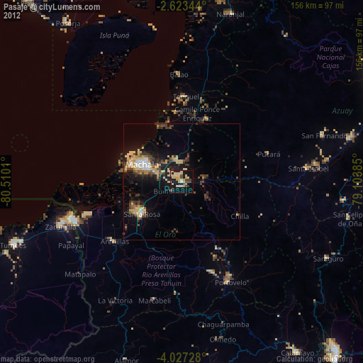
» Earth at Night: Flat Maps 2012, 2016