Santa Rosa night lights from space
Night Light of Santa Rosa (El Oro) from space (Ecuador) Src. Average luminocity for 10x10km area is 27.8853% and for 50x50km: 9.501%.
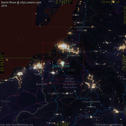
Analysis of Santa Rosa night lights 2016
Square area 10x10 km:
 5.19%
5.19%90-99
4.11%80-89
2.81%70-79
2.16%60-69
3.9%50-59
1.95%40-49
6.06%30-39
4.98%20-29
4.55%10-19
28.57%0-9
35.71%Square area 50x50 km:
1.17%90-99
1.06%80-89
1.87%70-79
2.16%60-69
0.37%50-59
0.48%40-49
1.13%30-39
1.56%20-29
2.65%10-19
6.97%0-9
80.57%Clear (daylight) street map image can be seen on geolist.org.
Map coordinates:
2° 44' 48.2" South, 80° 39' 45.5" West
3° 26' 55.8" South, 79° 57' 34.3" West
4° 9' 1.4" South, 79° 15' 23" West
Some cities around Santa Rosa sort by population:
• Machala
21.1 km =13.1 mi,  359°
359°
• Pasaje
21.8 km =13.5 mi,  51°
51°
• Huaquillas
30.3 km =18.8 mi,  264°
264°
• Piñas
40.3 km =25 mi,  129°
129°
• Zarumilla, PE
35.3 km =21.9 mi, 260°
• Zaruma
47.1 km =29.3 mi,  124°
124°
• Aguas Verdes, PE
31.9 km =19.8 mi, 263°
• Puerto Bolívar
20.7 km =12.9 mi,  348°
348°
3651356 (p: 41,816)
Sources (retrieved 2019-11-25):
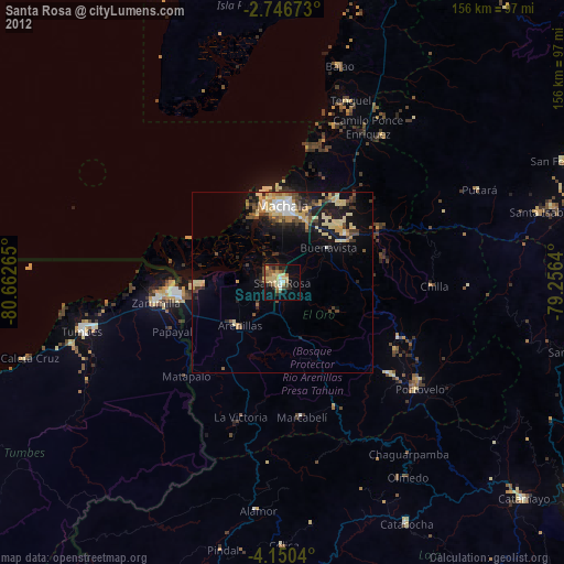
» Earth at Night: Flat Maps 2012, 2016