Milagro night lights from space
Night Light of Milagro (Guayas) from space (Ecuador) Src. Average luminocity for 10x10km area is 53.2554% and for 50x50km: 11.9923%.
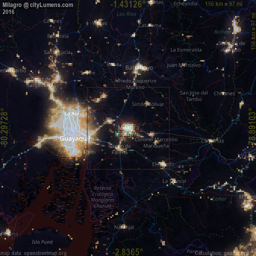
Analysis of Milagro night lights 2016
Square area 10x10 km:
 9.74%
9.74%90-99
11.9%80-89
3.9%70-79
7.36%60-69
7.36%50-59
5.84%40-49
10.82%30-39
14.72%20-29
10.39%10-19
17.32%0-9
0.65%Square area 50x50 km:
0.86%90-99
1.06%80-89
1.14%70-79
1.45%60-69
1.65%50-59
1.75%40-49
3.41%30-39
3.53%20-29
3.11%10-19
9.38%0-9
72.66%Clear (daylight) street map image can be seen on geolist.org.
Map coordinates:
1° 25' 52.5" South, 80° 17' 50.2" West
2° 8' 2.5" South, 79° 35' 38.9" West
2° 50' 11.4" South, 78° 53' 27.7" West
Some cities around Milagro sort by population:
• Guayaquil
33.2 km =20.6 mi,  257°
257°
• Eloy Alfaro
29.4 km =18.3 mi, 260°
• Naranjito
14.8 km =9.2 mi,  104°
104°
• Yaguachi Nuevo
11.9 km =7.4 mi,  290°
290°
• Samborondón
23.9 km =14.9 mi,  322°
322°
• Alfredo Baquerizo Moreno
25.7 km =16 mi,  19°
19°
• Palestina
25.6 km =15.9 mi,  328°
328°
• Coronel Marcelino Maridueña
19.8 km =12.3 mi,  114°
114°
3654215 (p: 133,508)
Sources (retrieved 2019-11-25):
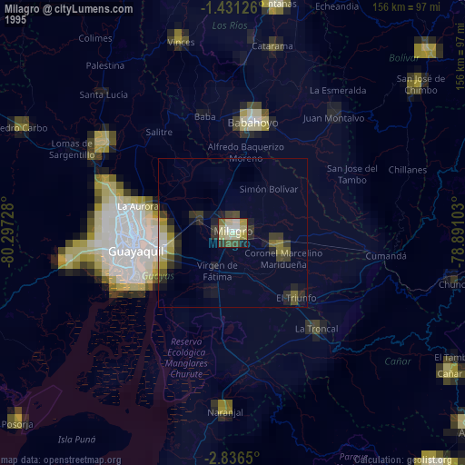
» NASA, Earths city lights 1995
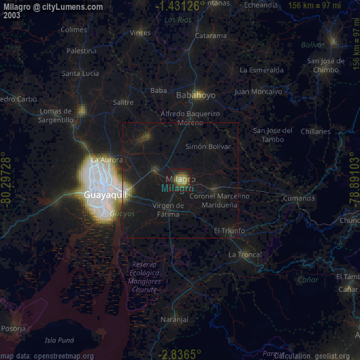
» NASA city lights 2003
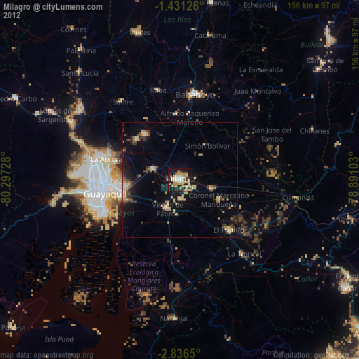
» Earth at Night: Flat Maps 2012, 2016