Naranjito night lights from space
Night Light of Naranjito (Guayas) from space (Ecuador) Src. Average luminocity for 10x10km area is 11.0758% and for 50x50km: 6.5699%.
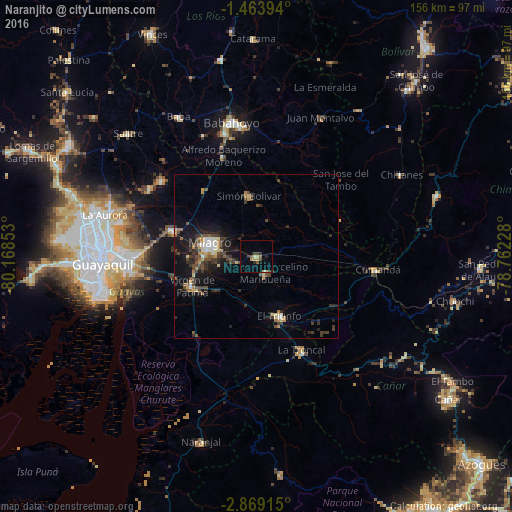
Analysis of Naranjito night lights 2016
Square area 10x10 km:
 0%
0%90-99
0%80-89
1.73%70-79
3.46%60-69
0%50-59
1.73%40-49
3.03%30-39
2.16%20-29
2.81%10-19
1.73%0-9
83.33%Square area 50x50 km:
0.48%90-99
0.56%80-89
0.67%70-79
0.79%60-69
0.78%50-59
0.78%40-49
1.74%30-39
1.88%20-29
1.92%10-19
5.3%0-9
85.1%Clear (daylight) street map image can be seen on geolist.org.
Map coordinates:
1° 27' 50.2" South, 80° 10' 6.7" West
2° 10' 0.2" South, 79° 27' 55.4" West
2° 52' 8.9" South, 78° 45' 44.2" West
Some cities around Naranjito sort by population:
• Milagro
14.8 km =9.2 mi,  284°
284°
• Babahoyo
41.3 km =25.7 mi,  349°
349°
• La Troncal
31.8 km =19.8 mi,  153°
153°
• Yaguachi Nuevo
26.7 km =16.6 mi,  286°
286°
• Samborondón
36.6 km =22.7 mi,  308°
308°
• Alfredo Baquerizo Moreno
28.4 km =17.6 mi, 348°
• Palestina
37.6 km =23.4 mi, 312°
• Coronel Marcelino Maridueña
6 km =3.7 mi,  142°
142°
3653873 (p: 34,206)
Sources (retrieved 2019-11-25):
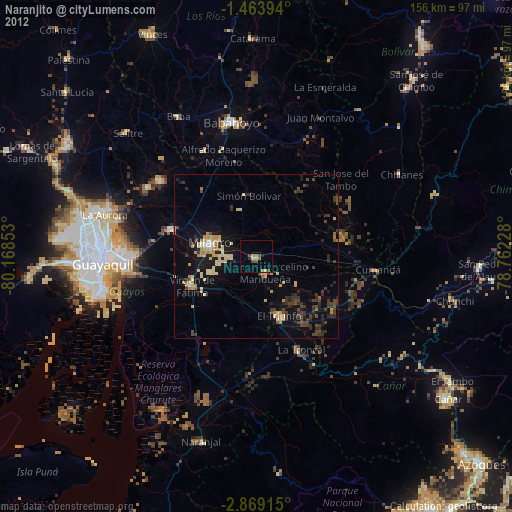
» Earth at Night: Flat Maps 2012, 2016