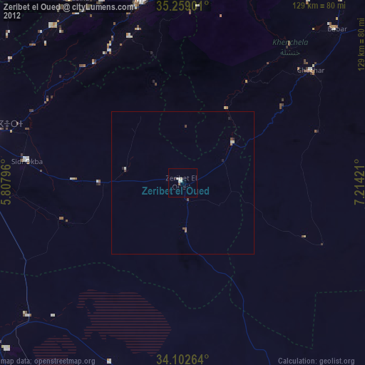
Zeribet el Oued night lights from space
Night Light of Zeribet el Oued (Biskra) from space (Algeria) Src. Average luminocity for 10x10km area is 8.6451% and for 50x50km: 0.6701%.
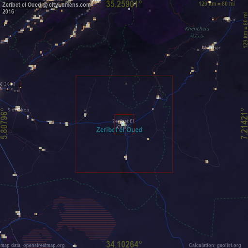
Analysis of Zeribet el Oued night lights 2016
Square area 10x10 km:
 1.05%
1.05%90-99
1.22%80-89
3.85%70-79
0.17%60-69
0.7%50-59
0.7%40-49
0%30-39
1.22%20-29
0.17%10-19
0%0-9
90.91%Square area 50x50 km:
0.04%90-99
0.08%80-89
0.31%70-79
0.07%60-69
0.04%50-59
0.06%40-49
0.06%30-39
0.11%20-29
0.06%10-19
0%0-9
99.19%Clear (daylight) street map image can be seen on geolist.org.
Map coordinates:
35° 15' 32.4" North, 5° 48' 28.7" East
34° 40' 58.2" North, 6° 30' 39.9" East
34° 6' 9.5" North, 7° 12' 51.2" East
Some cities around Zeribet el Oued sort by population:
• Biskra
73.9 km =45.9 mi,  284°
284°
• Batna
101.8 km =63.3 mi,  342°
342°
• Khenchela
101.6 km =63.1 mi,  34°
34°
• Aïn Touta
95.1 km =59.1 mi,  324°
324°
• Tazoult-Lambese
91.7 km =57 mi,  345°
345°
• Arris
65.8 km =40.9 mi, 346°
• Sidi Okba
56.4 km =35 mi, 277°
• Oumache
75.9 km =47.2 mi,  270°
270°
2474506 (p: 23,187)
Sources (retrieved 2019-11-25):
» Earth at Night: Flat Maps 2012, 2016