Boumahra Ahmed night lights from space
Night Light of Boumahra Ahmed (Guelma) from space (Algeria) Src. Average luminocity for 10x10km area is 18.5934% and for 50x50km: 6.8791%.
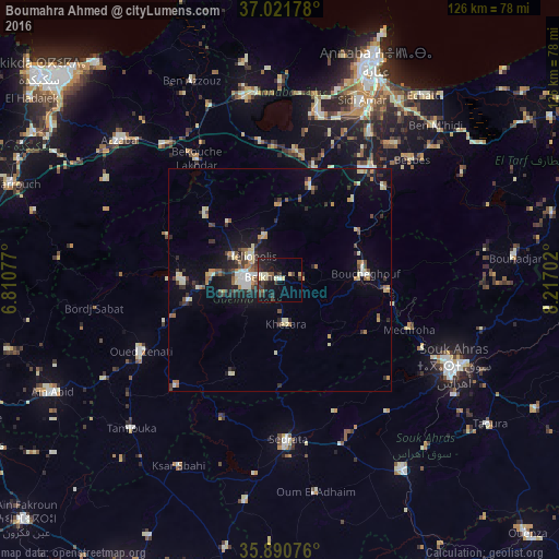
Analysis of Boumahra Ahmed night lights 2016
Square area 10x10 km:
 1.1%
1.1%90-99
2.01%80-89
3.48%70-79
1.47%60-69
0.37%50-59
1.83%40-49
2.38%30-39
7.69%20-29
7.51%10-19
19.78%0-9
52.38%Square area 50x50 km:
0.53%90-99
1.1%80-89
0.97%70-79
0.85%60-69
0.63%50-59
0.61%40-49
0.98%30-39
1.62%20-29
1.5%10-19
4.42%0-9
86.78%Clear (daylight) street map image can be seen on geolist.org.
Map coordinates:
37° 1' 18.4" North, 6° 48' 38.8" East
36° 27' 30" North, 7° 30' 50" East
35° 53' 26.7" North, 8° 13' 1.3" East
Some cities around Boumahra Ahmed sort by population:
• Souk Ahras
43.6 km =27.1 mi,  116°
116°
• Guelma
7.9 km =4.9 mi,  273°
273°
• Besbes
40.3 km =25 mi,  47°
47°
• Drean
32.9 km =20.4 mi,  40°
40°
• Sedrata
36.7 km =22.8 mi,  177°
177°
• El Hadjar
43.3 km =26.9 mi,  27°
27°
• Héliopolis
8.1 km =5 mi,  308°
308°
• Berrahal
42.3 km =26.3 mi,  352°
352°
2502686 (p: 23,022)
Sources (retrieved 2019-11-25):
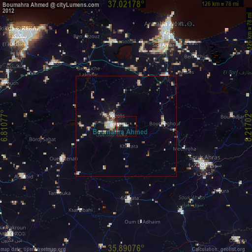
» Earth at Night: Flat Maps 2012, 2016