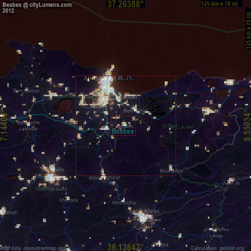
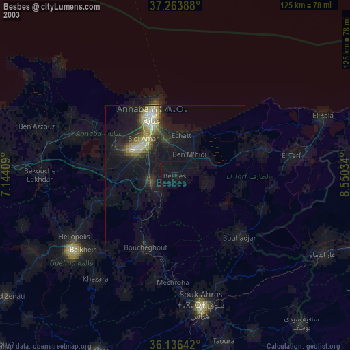
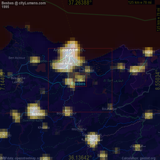
Besbes night lights from space
Night Light of Besbes (El Tarf) from space (Algeria) Src. Average luminocity for 10x10km area is 19.3956% and for 50x50km: 14.0303%.
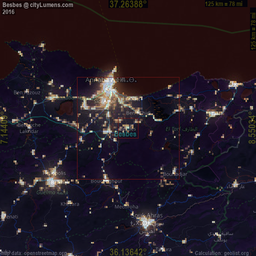
Analysis of Besbes night lights 2016
Square area 10x10 km:
 0%
0%90-99
0.55%80-89
3.85%70-79
4.58%60-69
2.2%50-59
3.66%40-49
2.56%30-39
4.58%20-29
2.75%10-19
26.01%0-9
49.27%Square area 50x50 km:
1.2%90-99
2.55%80-89
1.83%70-79
2.03%60-69
1.53%50-59
1.35%40-49
2.52%30-39
2.68%20-29
4.02%10-19
10.65%0-9
69.63%Clear (daylight) street map image can be seen on geolist.org.
Map coordinates:
37° 15' 50" North, 7° 8' 38.7" East
36° 42' 8" North, 7° 50' 50" East
36° 8' 11.1" North, 8° 33' 1.2" East
Some cities around Besbes sort by population:
• Annaba
23.1 km =14.4 mi,  341°
341°
• Drean
8.8 km =5.5 mi,  257°
257°
• El Hadjar
15 km =9.3 mi,  318°
318°
• Héliopolis
42.3 km =26.3 mi,  238°
238°
• Ben Mehidi
9.2 km =5.7 mi,  35°
35°
• Boumahra Ahmed
40.3 km =25 mi,  227°
227°
• El Tarf
42.2 km =26.2 mi,  80°
80°
• Berrahal
38.1 km =23.7 mi,  292°
292°
2504072 (p: 66,287)
Sources (retrieved 2019-11-25):
» NASA, Earths city lights 1995
» NASA city lights 2003
» Earth at Night: Flat Maps 2012, 2016