Héliopolis night lights from space
Night Light of Héliopolis (Guelma) from space (Algeria) Src. Average luminocity for 10x10km area is 41.2436% and for 50x50km: 7.2882%.
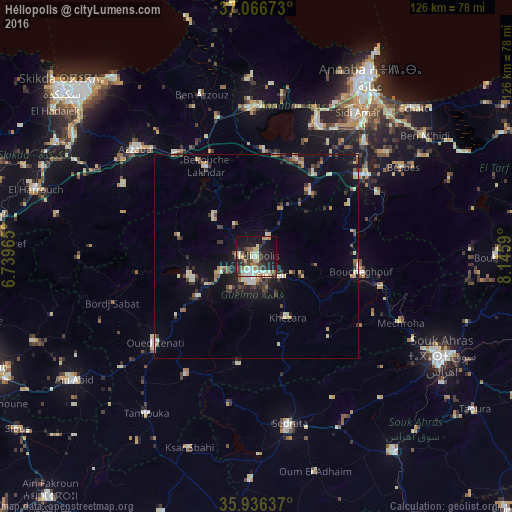
Analysis of Héliopolis night lights 2016
Square area 10x10 km:
 5.49%
5.49%90-99
7.33%80-89
8.24%70-79
4.76%60-69
4.21%50-59
3.3%40-49
7.69%30-39
8.24%20-29
10.99%10-19
30.04%0-9
9.71%Square area 50x50 km:
0.53%90-99
1.14%80-89
1.09%70-79
0.82%60-69
0.63%50-59
0.71%40-49
1.09%30-39
1.79%20-29
1.46%10-19
4.73%0-9
86.02%Clear (daylight) street map image can be seen on geolist.org.
Map coordinates:
37° 4' 0.2" North, 6° 44' 22.7" East
36° 30' 13" North, 7° 26' 34" East
35° 56' 10.9" North, 8° 8' 45.2" East
Some cities around Héliopolis sort by population:
• Guelma
4.8 km =3 mi,  197°
197°
• Azzaba
39.9 km =24.8 mi,  311°
311°
• Besbes
42.3 km =26.3 mi,  58°
58°
• Drean
34.1 km =21.2 mi,  53°
53°
• Sedrata
42.5 km =26.4 mi,  168°
168°
• El Hadjar
42.4 km =26.3 mi,  38°
38°
• Boumahra Ahmed
8.1 km =5 mi,  128°
128°
• Berrahal
36.9 km =22.9 mi,  1°
1°
2493956 (p: 40,139)
Sources (retrieved 2019-11-25):
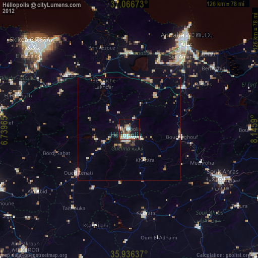
» Earth at Night: Flat Maps 2012, 2016