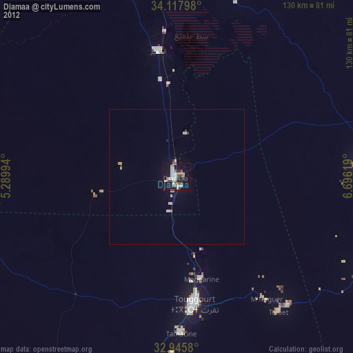
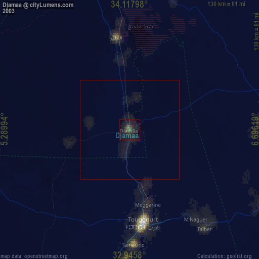
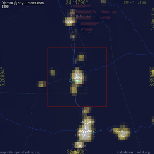
Djamaa night lights from space
Night Light of Djamaa (Ouargla) from space (Algeria) Src. Average luminocity for 10x10km area is 35.044% and for 50x50km: 2.0539%.
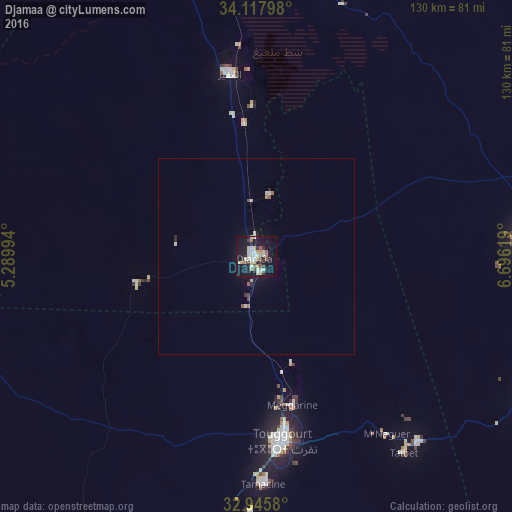
Analysis of Djamaa night lights 2016
Square area 10x10 km:
 4.03%
4.03%90-99
10.26%80-89
5.13%70-79
2.75%60-69
4.21%50-59
2.93%40-49
3.11%30-39
4.58%20-29
4.76%10-19
39.38%0-9
18.86%Square area 50x50 km:
0.18%90-99
0.53%80-89
0.28%70-79
0.11%60-69
0.22%50-59
0.26%40-49
0.16%30-39
0.23%20-29
0.31%10-19
1.93%0-9
95.79%Clear (daylight) street map image can be seen on geolist.org.
Map coordinates:
34° 7' 4.7" North, 5° 17' 23.8" East
33° 32' 2" North, 5° 59' 35" East
32° 56' 44.9" North, 6° 41' 46.3" East
Some cities around Djamaa sort by population:
• El Oued
83.1 km =51.6 mi,  103°
103°
• Reguiba
65.9 km =40.9 mi,  87°
87°
• Touggourt
48 km =29.8 mi,  172°
172°
• Tebesbest
47.1 km =29.3 mi, 169°
• Debila
88.7 km =55.1 mi, 91°
• Megarine
39 km =24.2 mi, 167°
• Sidi Amrane
4.1 km =2.5 mi,  160°
160°
• Taïbet
62 km =38.5 mi,  143°
143°
2500282 (p: 52,882)
Sources (retrieved 2019-11-25):
» NASA, Earths city lights 1995
» NASA city lights 2003
» Earth at Night: Flat Maps 2012, 2016