Oued Rhiou night lights from space
Night Light of Oued Rhiou (Relizane) from space (Algeria) Src. Average luminocity for 10x10km area is 16.1593% and for 50x50km: 5.5838%.
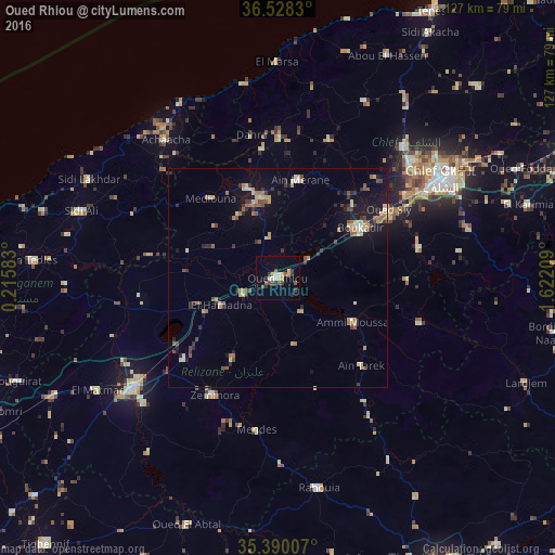
Analysis of Oued Rhiou night lights 2016
Square area 10x10 km:
 2.2%
2.2%90-99
1.47%80-89
1.28%70-79
3.11%60-69
0%50-59
4.03%40-49
1.83%30-39
5.13%20-29
1.1%10-19
2.01%0-9
77.84%Square area 50x50 km:
0.3%90-99
0.44%80-89
0.75%70-79
0.91%60-69
0.86%50-59
0.85%40-49
0.77%30-39
1.19%20-29
0.89%10-19
3.64%0-9
89.4%Clear (daylight) street map image can be seen on geolist.org.
Map coordinates:
36° 31' 41.9" North, 0° 12' 57" East
35° 57' 40.5" North, 0° 55' 8.3" East
35° 23' 24.3" North, 1° 37' 19.5" East
Some cities around Oued Rhiou sort by population:
• Ech Chettia
39.9 km =24.8 mi,  49°
49°
• Relizane
41.1 km =25.5 mi,  232°
232°
• ’Aïn Merane
22.9 km =14.2 mi,  11°
11°
• Djidiouia
8.8 km =5.5 mi,  246°
246°
• Boukadir
22 km =13.7 mi,  57°
57°
• Ammi Moussa
20.2 km =12.6 mi,  120°
120°
• Mazouna
18 km =11.2 mi,  354°
354°
• Zemoura
30.4 km =18.9 mi,  209°
209°
2485582 (p: 59,864)
Sources (retrieved 2019-11-25):
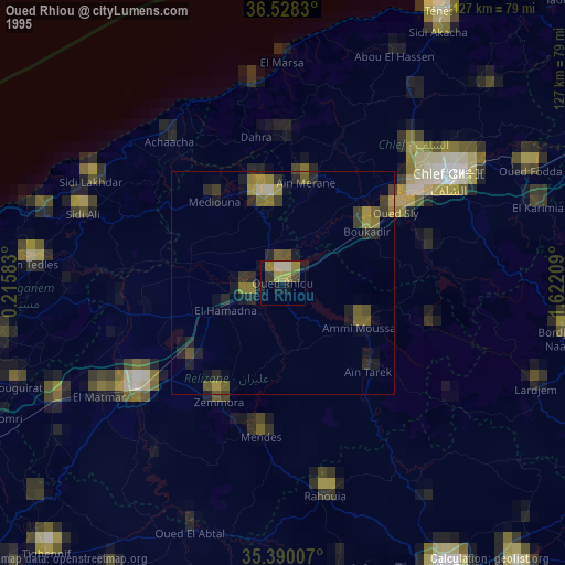
» NASA, Earths city lights 1995
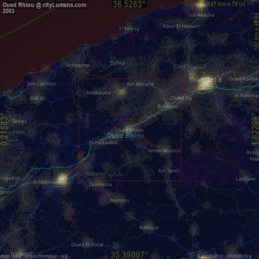
» NASA city lights 2003
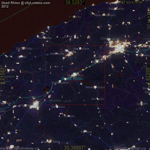
» Earth at Night: Flat Maps 2012, 2016