Djidiouia night lights from space
Night Light of Djidiouia (Relizane) from space (Algeria) Src. Average luminocity for 10x10km area is 6.87% and for 50x50km: 4.8579%.
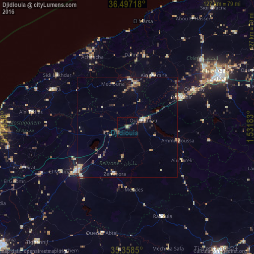
Analysis of Djidiouia night lights 2016
Square area 10x10 km:
 0.18%
0.18%90-99
0.18%80-89
0.92%70-79
1.65%60-69
0.73%50-59
1.1%40-49
1.47%30-39
2.2%20-29
0.73%10-19
1.1%0-9
89.74%Square area 50x50 km:
0.28%90-99
0.4%80-89
0.81%70-79
0.71%60-69
0.74%50-59
0.7%40-49
0.74%30-39
1%20-29
0.86%10-19
2.32%0-9
91.44%Clear (daylight) street map image can be seen on geolist.org.
Map coordinates:
36° 29' 49.8" North, 0° 7' 32.1" East
35° 55' 47.6" North, 0° 49' 43.4" East
35° 21' 30.6" North, 1° 31' 54.6" East
Some cities around Djidiouia sort by population:
• Relizane
32.6 km =20.3 mi,  228°
228°
• Oued Rhiou
8.8 km =5.5 mi,  66°
66°
• ’Aïn Merane
28.9 km =18 mi,  26°
26°
• Oued Sly
38.4 km =23.9 mi,  60°
60°
• Boukadir
30.7 km =19.1 mi, 60°
• Ammi Moussa
26.4 km =16.4 mi,  105°
105°
• Mazouna
22.3 km =13.9 mi,  16°
16°
• Zemoura
24 km =14.9 mi,  196°
196°
2492920 (p: 31,996)
Sources (retrieved 2019-11-25):
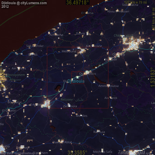
» Earth at Night: Flat Maps 2012, 2016