Mazouna night lights from space
Night Light of Mazouna (Relizane) from space (Algeria) Src. Average luminocity for 10x10km area is 18.7473% and for 50x50km: 6.0378%.
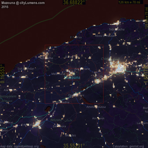
Analysis of Mazouna night lights 2016
Square area 10x10 km:
 0.37%
0.37%90-99
1.1%80-89
3.11%70-79
3.48%60-69
4.4%50-59
2.75%40-49
2.2%30-39
4.76%20-29
2.01%10-19
15.38%0-9
60.44%Square area 50x50 km:
0.28%90-99
0.47%80-89
0.85%70-79
1.01%60-69
0.87%50-59
0.87%40-49
0.81%30-39
1.62%20-29
0.97%10-19
3.33%0-9
88.94%Clear (daylight) street map image can be seen on geolist.org.
Map coordinates:
36° 41' 17.6" North, 0° 11' 43.9" East
36° 7' 20.4" North, 0° 53' 55.1" East
35° 33' 8.3" North, 1° 36' 6.4" East
Some cities around Mazouna sort by population:
• Chlef
39.4 km =24.5 mi,  83°
83°
• Ech Chettia
33.1 km =20.6 mi, 75°
• Oued Rhiou
18 km =11.2 mi,  174°
174°
• ’Aïn Merane
7.9 km =4.9 mi,  55°
55°
• Djidiouia
22.3 km =13.9 mi,  196°
196°
• Oued Sly
27.1 km =16.8 mi,  94°
94°
• Boukadir
21.4 km =13.3 mi,  106°
106°
• Ammi Moussa
34.2 km =21.3 mi,  145°
145°
2489987 (p: 22,366)
Sources (retrieved 2019-11-25):
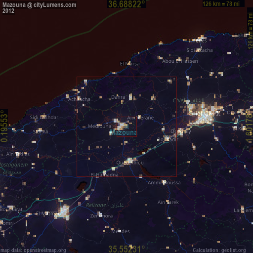
» Earth at Night: Flat Maps 2012, 2016