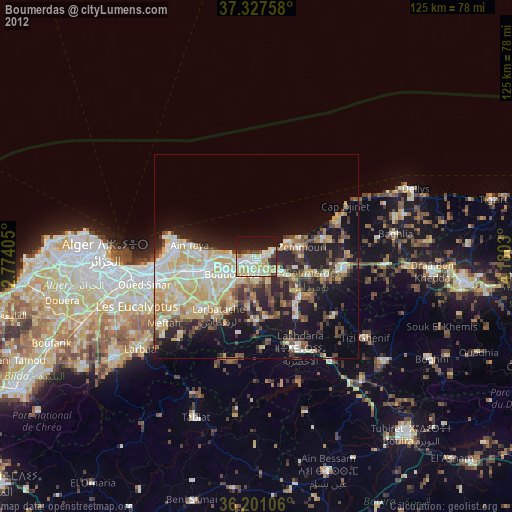
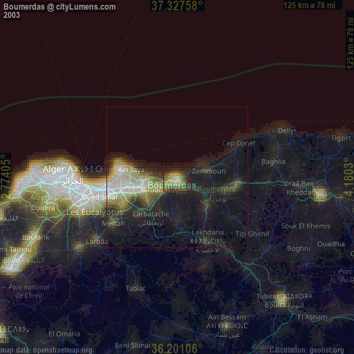
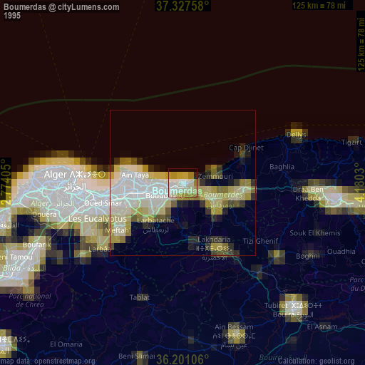
Boumerdas night lights from space
Night Light of Boumerdas (Boumerdes) from space (Algeria) Src. Average luminocity for 10x10km area is 51.8409% and for 50x50km: 28.4245%.
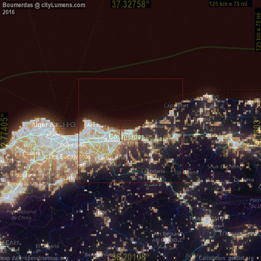
Analysis of Boumerdas night lights 2016
Square area 10x10 km:
 7.34%
7.34%90-99
11.19%80-89
4.2%70-79
16.43%60-69
11.01%50-59
2.27%40-49
2.1%30-39
4.37%20-29
15.21%10-19
21.85%0-9
4.02%Square area 50x50 km:
4.01%90-99
5.33%80-89
3.23%70-79
5.42%60-69
5.28%50-59
2.32%40-49
2.75%30-39
5.19%20-29
9%10-19
13.83%0-9
43.64%Clear (daylight) street map image can be seen on geolist.org.
Map coordinates:
37° 19' 39.3" North, 2° 46' 26.6" East
36° 45' 59" North, 3° 28' 37.8" East
36° 12' 3.8" North, 4° 10' 49.1" East
Some cities around Boumerdas sort by population:
• Reghaïa
12.7 km =7.9 mi,  254°
254°
• Boudouaou
7.4 km =4.6 mi,  234°
234°
• Aïn Taya
17.2 km =10.7 mi,  280°
280°
• Rouiba
17.8 km =11.1 mi,  259°
259°
• Beni Amrane
15 km =9.3 mi,  137°
137°
• Arbatache
17.1 km =10.6 mi,  213°
213°
• Thenia
8.4 km =5.2 mi,  122°
122°
• Ouled Moussa
13.5 km =8.4 mi, 227°
2474141 (p: 786,499)
Sources (retrieved 2019-11-25):
» NASA, Earths city lights 1995
» NASA city lights 2003
» Earth at Night: Flat Maps 2012, 2016