Khemis el Khechna night lights from space
Night Light of Khemis el Khechna (Boumerdes) from space (Algeria) Src. Average luminocity for 10x10km area is 68.9194% and for 50x50km: 36.8821%.
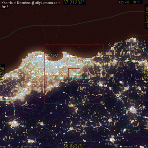
Analysis of Khemis el Khechna night lights 2016
Square area 10x10 km:
 8.61%
8.61%90-99
14.29%80-89
11.54%70-79
27.47%60-69
10.62%50-59
5.31%40-49
4.03%30-39
8.42%20-29
8.61%10-19
1.1%0-9
0%Square area 50x50 km:
7.5%90-99
7.26%80-89
4.22%70-79
6.64%60-69
6.29%50-59
3.13%40-49
3.54%30-39
5.45%20-29
8.31%10-19
11.32%0-9
36.33%Clear (daylight) street map image can be seen on geolist.org.
Map coordinates:
37° 12' 43.3" North, 2° 37' 39.6" East
36° 38' 59.9" North, 3° 19' 50.9" East
36° 5' 1.6" North, 4° 2' 2.1" East
Some cities around Khemis el Khechna sort by population:
• Bab Ezzouar
15.7 km =9.8 mi,  302°
302°
• Meftah
10.2 km =6.3 mi,  251°
251°
• Reghaïa
9.6 km =6 mi,  5°
5°
• Boudouaou
11.1 km =6.9 mi,  39°
39°
• Dar el Beïda
12.7 km =7.9 mi, 303°
• Rouiba
10.8 km =6.7 mi,  335°
335°
• Arbatache
3.9 km =2.4 mi,  110°
110°
• Ouled Moussa
4.9 km =3 mi, 40°
2491913 (p: 49,757)
Sources (retrieved 2019-11-25):
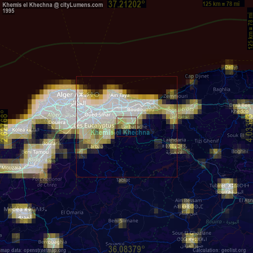
» NASA, Earths city lights 1995
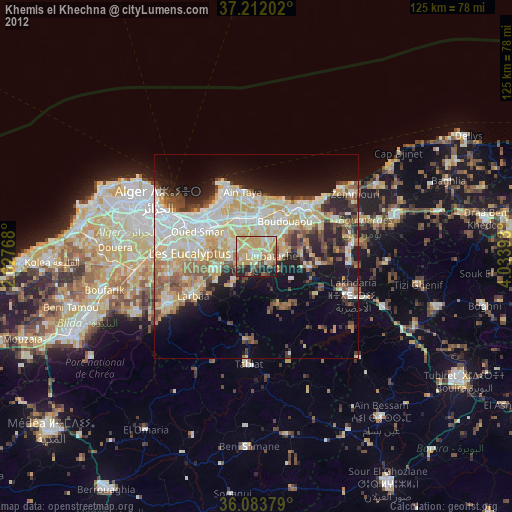
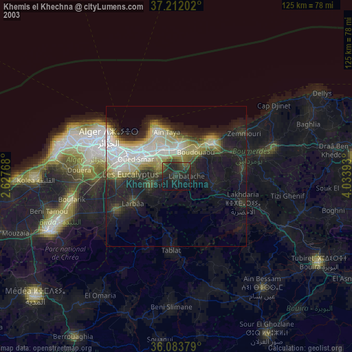
» NASA city lights 2003
» Earth at Night: Flat Maps 2012, 2016