Touggourt night lights from space
Night Light of Touggourt (Ouargla) from space (Algeria) Src. Average luminocity for 10x10km area is 47.1502% and for 50x50km: 3.9919%.
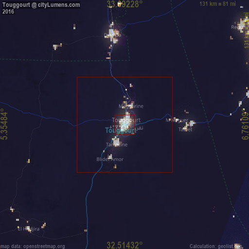
Analysis of Touggourt night lights 2016
Square area 10x10 km:
 10.99%
90-99
17.03%80-89
4.21%70-79
0.73%60-69
1.47%50-59
2.2%40-49
5.31%30-39
6.96%20-29
16.3%10-19
32.42%0-9
2.38%Square area 50x50 km:
0.64%90-99
1.04%80-89
0.3%70-79
0.23%60-69
0.29%50-59
0.19%40-49
0.47%30-39
0.56%20-29
0.92%10-19
4.11%0-9
91.26%Clear (daylight) street map image can be seen on geolist.org.
Map coordinates:
33° 41' 32.2" North, 5° 21' 17.4" East
33° 6' 19" North, 6° 3' 28.7" East
32° 30' 51.6" North, 6° 45' 39.9" East
Some cities around Touggourt sort by population:
• El Oued
79.9 km =49.6 mi,  69°
69°
• Reguiba
78.7 km =48.9 mi,  49°
49°
• Djamaa
48 km =29.8 mi,  352°
352°
• Tebesbest
2.7 km =1.7 mi,  61°
61°
• El Hadjira
74.7 km =46.4 mi,  222°
222°
• Megarine
10 km =6.2 mi,  15°
15°
• Sidi Amrane
44 km =27.3 mi, 353°
• Taïbet
30.9 km =19.2 mi,  94°
94°
2475475 (p: 49,044)
Sources (retrieved 2019-11-25):
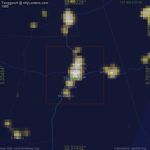
» NASA, Earths city lights 1995
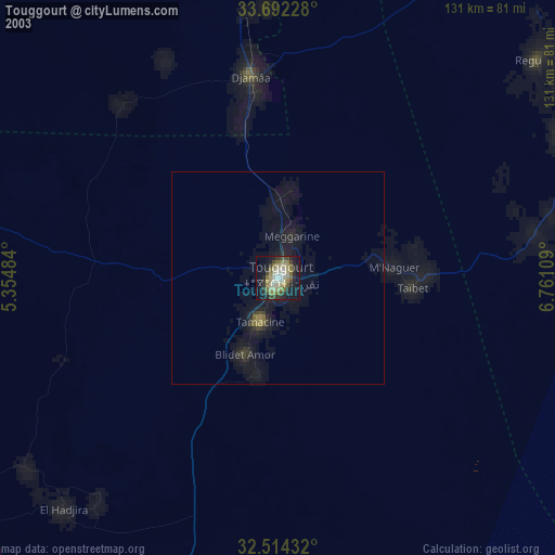
» NASA city lights 2003
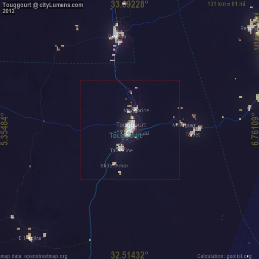
» Earth at Night: Flat Maps 2012, 2016