Taïbet night lights from space
Night Light of Taïbet (Ouargla) from space (Algeria) Src. Average luminocity for 10x10km area is 15.3755% and for 50x50km: 0.9346%.
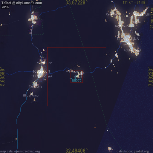
Analysis of Taïbet night lights 2016
Square area 10x10 km:
 1.83%
1.83%90-99
3.3%80-89
3.66%70-79
0.73%60-69
2.56%50-59
1.28%40-49
2.01%30-39
0%20-29
1.1%10-19
3.85%0-9
79.67%Square area 50x50 km:
0.09%90-99
0.17%80-89
0.16%70-79
0.03%60-69
0.16%50-59
0.05%40-49
0.1%30-39
0.1%20-29
0.08%10-19
0.18%0-9
98.89%Clear (daylight) street map image can be seen on geolist.org.
Map coordinates:
33° 40' 20.2" North, 5° 41' 9.5" East
33° 5' 6.5" North, 6° 23' 20.8" East
32° 29' 38.6" North, 7° 5' 32" East
Some cities around Taïbet sort by population:
• El Oued
53.4 km =33.2 mi,  55°
55°
• Reguiba
60.7 km =37.7 mi,  28°
28°
• Djamaa
62 km =38.5 mi,  323°
323°
• Touggourt
30.9 km =19.2 mi,  274°
274°
• Tebesbest
28.7 km =17.8 mi,  277°
277°
• Megarine
30.5 km =19 mi,  292°
292°
• Robbah
53.1 km =33 mi,  65°
65°
• Sidi Amrane
58.1 km =36.1 mi, 322°
2478509 (p: 21,000)
Sources (retrieved 2019-11-25):
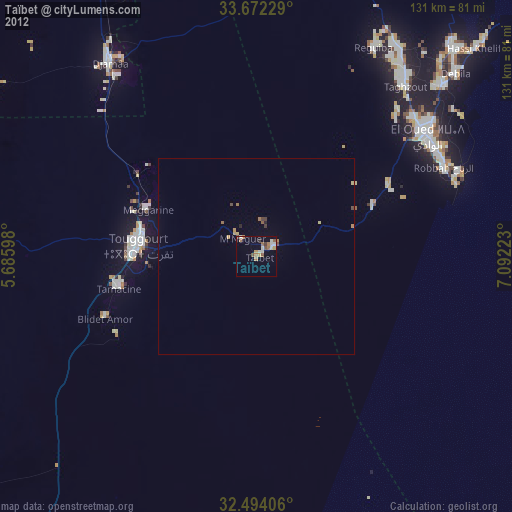
» Earth at Night: Flat Maps 2012, 2016