Megarine night lights from space
Night Light of Megarine (Ouargla) from space (Algeria) Src. Average luminocity for 10x10km area is 17.8881% and for 50x50km: 3.9113%.
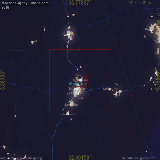
Analysis of Megarine night lights 2016
Square area 10x10 km:
 1.22%
1.22%90-99
1.57%80-89
1.92%70-79
2.1%60-69
2.27%50-59
1.75%40-49
2.97%30-39
3.5%20-29
4.72%10-19
26.75%0-9
51.22%Square area 50x50 km:
0.6%90-99
1.05%80-89
0.28%70-79
0.2%60-69
0.32%50-59
0.21%40-49
0.43%30-39
0.55%20-29
0.92%10-19
4.12%0-9
91.32%Clear (daylight) street map image can be seen on geolist.org.
Map coordinates:
33° 46' 42.1" North, 5° 23' 1.8" East
33° 11' 31" North, 6° 5' 13" East
32° 36' 5.7" North, 6° 47' 24.3" East
Some cities around Megarine sort by population:
• El Oued
74.4 km =46.2 mi,  75°
75°
• Reguiba
70.6 km =43.9 mi,  54°
54°
• Djamaa
39 km =24.2 mi,  347°
347°
• Touggourt
10 km =6.2 mi,  195°
195°
• Tebesbest
8.4 km =5.2 mi,  182°
182°
• Robbah
77.1 km =47.9 mi, 82°
• Sidi Amrane
34.9 km =21.7 mi, 347°
• Taïbet
30.5 km =19 mi,  112°
112°
2488716 (p: 31,711)
Sources (retrieved 2019-11-25):
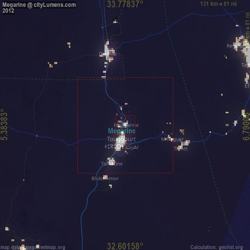
» Earth at Night: Flat Maps 2012, 2016