Akbou night lights from space
Night Light of Akbou (Béjaïa) from space (Algeria) Src. Average luminocity for 10x10km area is 38.8791% and for 50x50km: 13.2428%.
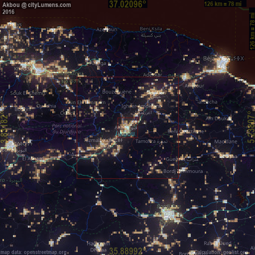
Analysis of Akbou night lights 2016
Square area 10x10 km:
 0.92%
0.92%90-99
4.95%80-89
6.23%70-79
11.17%60-69
5.86%50-59
3.85%40-49
8.61%30-39
7.14%20-29
8.06%10-19
36.81%0-9
6.41%Square area 50x50 km:
0.11%90-99
1.14%80-89
1.41%70-79
2.3%60-69
2.04%50-59
1.47%40-49
2.47%30-39
3.8%20-29
3.16%10-19
14.02%0-9
68.08%Clear (daylight) street map image can be seen on geolist.org.
Map coordinates:
37° 1' 15.5" North, 3° 49' 54.6" East
36° 27' 27" North, 4° 32' 5.8" East
35° 53' 23.7" North, 5° 14' 17.1" East
Some cities around Akbou sort by population:
• el hed
30.2 km =18.8 mi,  44°
44°
• Mekla
34.8 km =21.6 mi,  315°
315°
• ’Aïn el Hammam
23.7 km =14.7 mi,  300°
300°
• Feraoun
30.8 km =19.1 mi,  68°
68°
• Chemini
17.4 km =10.8 mi,  24°
24°
• Chorfa
21.3 km =13.2 mi,  241°
241°
• Seddouk
16.8 km =10.4 mi,  53°
53°
• Ighram
2.7 km =1.7 mi,  282°
282°
2507646 (p: 66,654)
Sources (retrieved 2019-11-25):
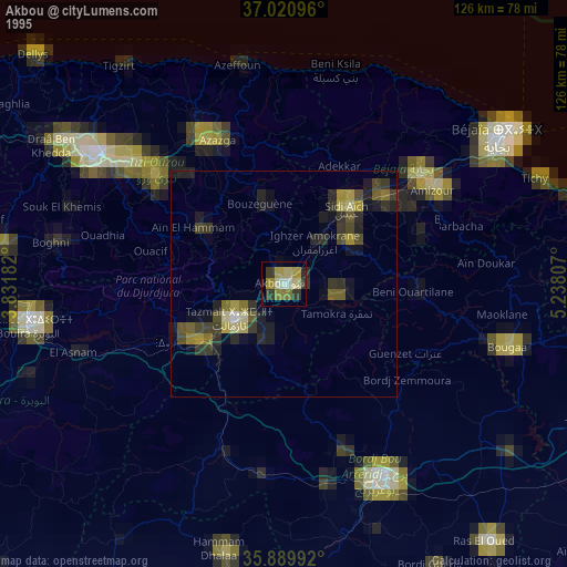
» NASA, Earths city lights 1995
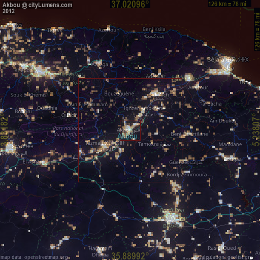
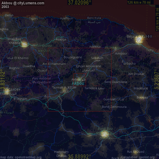
» NASA city lights 2003
» Earth at Night: Flat Maps 2012, 2016