Sougueur night lights from space
Night Light of Sougueur (Tiaret) from space (Algeria) Src. Average luminocity for 10x10km area is 15.6381% and for 50x50km: 4.1848%.
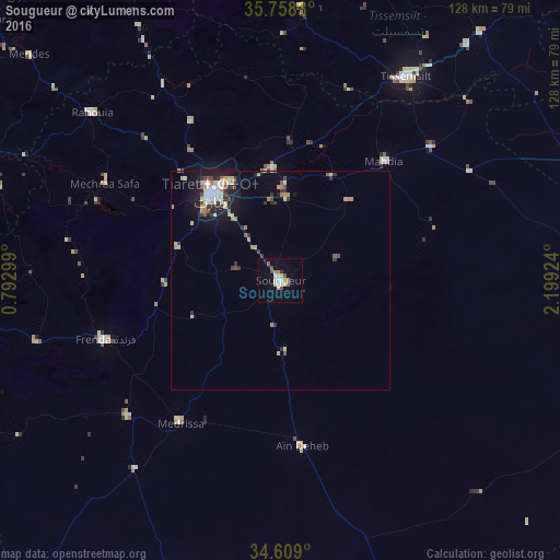
Analysis of Sougueur night lights 2016
Square area 10x10 km:
 2.1%
2.1%90-99
2.27%80-89
3.32%70-79
0.87%60-69
2.1%50-59
2.1%40-49
1.92%30-39
0.7%20-29
0.52%10-19
3.5%0-9
80.59%Square area 50x50 km:
0.46%90-99
0.6%80-89
0.77%70-79
0.51%60-69
0.49%50-59
0.37%40-49
0.36%30-39
0.7%20-29
0.83%10-19
2.4%0-9
92.49%Clear (daylight) street map image can be seen on geolist.org.
Map coordinates:
35° 45' 29.9" North, 0° 47' 34.8" East
35° 11' 8.4" North, 1° 29' 46" East
34° 36' 32.4" North, 2° 11' 57.3" East
Some cities around Sougueur sort by population:
• Tiaret
26.3 km =16.3 mi,  321°
321°
• Frenda
42.8 km =26.6 mi,  251°
251°
• Tissemsilt
54.9 km =34.1 mi,  31°
31°
• Ksar Chellala
74.8 km =46.5 mi,  87°
87°
• Mehdia daira de meghila
36.1 km =22.4 mi,  41°
41°
• ’Aïn Deheb
38.5 km =23.9 mi,  173°
173°
• Lardjem
62.8 km =39 mi,  4°
4°
• Oued el Abtal
79.3 km =49.3 mi,  292°
292°
2479247 (p: 68,654)
Sources (retrieved 2019-11-25):
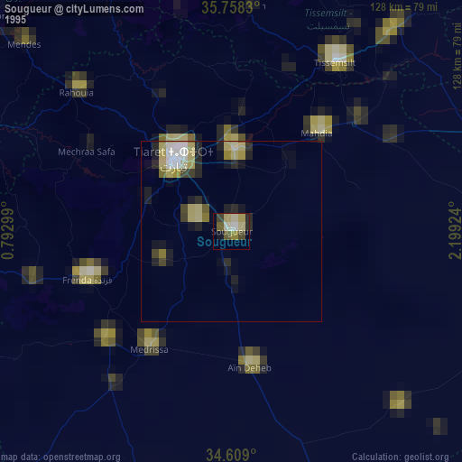
» NASA, Earths city lights 1995
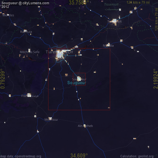
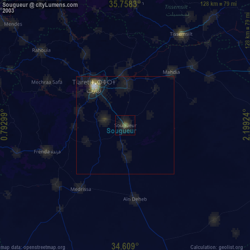
» NASA city lights 2003
» Earth at Night: Flat Maps 2012, 2016