Theniet el Had night lights from space
Night Light of Theniet el Had (Aïn Defla) from space (Algeria) Src. Average luminocity for 10x10km area is 8.8993% and for 50x50km: 1.91%.
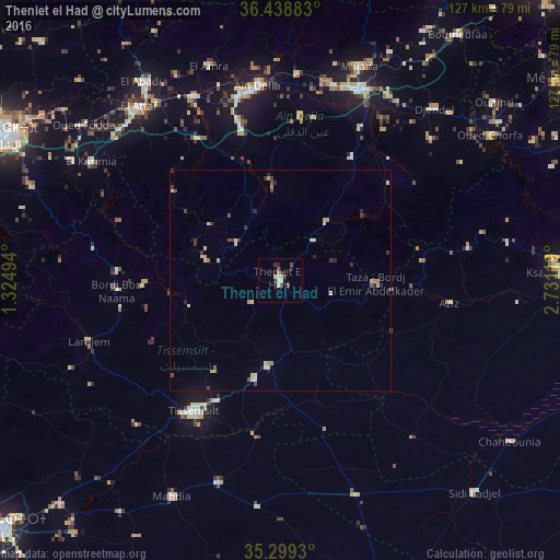
Analysis of Theniet el Had night lights 2016
Square area 10x10 km:
 0.73%
0.73%90-99
2.01%80-89
1.65%70-79
0%60-69
0.73%50-59
0.73%40-49
1.47%30-39
3.3%20-29
1.83%10-19
0.73%0-9
86.81%Square area 50x50 km:
0.09%90-99
0.29%80-89
0.52%70-79
0.2%60-69
0.15%50-59
0.15%40-49
0.31%30-39
0.54%20-29
0.32%10-19
0.19%0-9
97.25%Clear (daylight) street map image can be seen on geolist.org.
Map coordinates:
36° 26' 19.8" North, 1° 19' 29.8" East
35° 52' 16" North, 2° 1' 41" East
35° 17' 57.5" North, 2° 43' 52.3" East
Some cities around Theniet el Had sort by population:
• Khemis Miliana
46.7 km =29 mi,  21°
21°
• Tissemsilt
35.3 km =21.9 mi,  213°
213°
• Aïn Defla
44 km =27.3 mi,  352°
352°
• Oued Fodda
56.6 km =35.2 mi,  308°
308°
• El Attaf
50.6 km =31.4 mi,  320°
320°
• Mehdia daira de meghila
54.8 km =34.1 mi, 206°
• Lardjem
45.4 km =28.2 mi,  252°
252°
• El Abadia
53.9 km =33.5 mi,  325°
325°
2476915 (p: 27,687)
Sources (retrieved 2019-11-25):
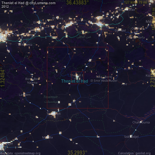
» Earth at Night: Flat Maps 2012, 2016