Karkira night lights from space
Night Light of Karkira (Skikda) from space (Algeria) Src. Average luminocity for 10x10km area is 22.1981% and for 50x50km: 6.0999%.
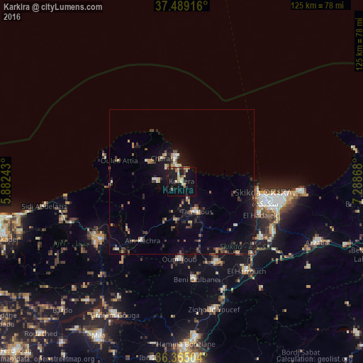
Analysis of Karkira night lights 2016
Square area 10x10 km:
 0%
0%90-99
2.27%80-89
6.49%70-79
2.6%60-69
2.76%50-59
1.95%40-49
2.92%30-39
2.44%20-29
3.41%10-19
31.66%0-9
43.51%Square area 50x50 km:
0.25%90-99
0.71%80-89
0.67%70-79
0.81%60-69
0.71%50-59
0.7%40-49
0.93%30-39
1.11%20-29
1.27%10-19
5.77%0-9
87.08%Clear (daylight) street map image can be seen on geolist.org.
Map coordinates:
37° 29' 21" North, 5° 52' 56.7" East
36° 55' 45" North, 6° 35' 8" East
36° 21' 54.1" North, 7° 17' 19.2" East
Some cities around Karkira sort by population:
• Constantine
62.8 km =39 mi,  177°
177°
• Skikda
29.4 km =18.3 mi,  101°
101°
• Azzaba
50.8 km =31.6 mi,  114°
114°
• Mila
60.5 km =37.6 mi,  208°
208°
• Hamma Bouziane
57.5 km =35.7 mi, 179°
• Tamalous
11.3 km =7 mi,  154°
154°
• Didouche Mourad
53.2 km =33.1 mi, 175°
• Sidi Mérouane
53.9 km =33.5 mi, 212°
2492345 (p: 46,747)
Sources (retrieved 2019-11-25):
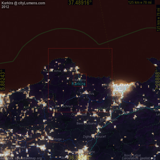
» Earth at Night: Flat Maps 2012, 2016