Sidi Amrane night lights from space
Night Light of Sidi Amrane (Ouargla) from space (Algeria) Src. Average luminocity for 10x10km area is 27.5183% and for 50x50km: 2.1203%.
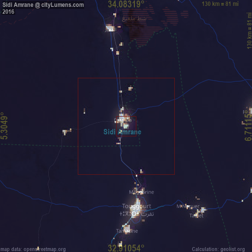
Analysis of Sidi Amrane night lights 2016
Square area 10x10 km:
 2.93%
2.93%90-99
7.69%80-89
4.76%70-79
2.01%60-69
2.75%50-59
2.93%40-49
2.93%30-39
2.56%20-29
3.66%10-19
24.73%0-9
43.04%Square area 50x50 km:
0.18%90-99
0.56%80-89
0.28%70-79
0.14%60-69
0.22%50-59
0.26%40-49
0.16%30-39
0.26%20-29
0.31%10-19
1.93%0-9
95.7%Clear (daylight) street map image can be seen on geolist.org.
Map coordinates:
34° 4' 59.5" North, 5° 18' 17.6" East
33° 29' 55.9" North, 6° 0' 28.9" East
32° 54' 37.9" North, 6° 42' 40.1" East
Some cities around Sidi Amrane sort by population:
• El Oued
80.9 km =50.3 mi,  101°
101°
• Reguiba
64.8 km =40.3 mi,  83°
83°
• Djamaa
4.1 km =2.5 mi,  340°
340°
• Touggourt
44 km =27.3 mi,  173°
173°
• Tebesbest
43.1 km =26.8 mi, 170°
• Megarine
34.9 km =21.7 mi, 167°
• Robbah
87.2 km =54.2 mi,  106°
106°
• Taïbet
58.1 km =36.1 mi,  142°
142°
2481058 (p: 29,734)
Sources (retrieved 2019-11-25):
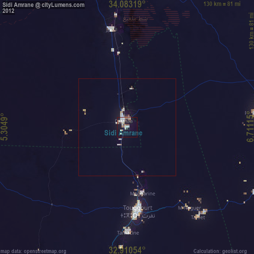
» Earth at Night: Flat Maps 2012, 2016